
Drives New Mexico Santa Fe, Taos and Northern New Mexico
Cimarron Canyon: US-64
US 64 · Cimarron → Eagle Nest

The drive
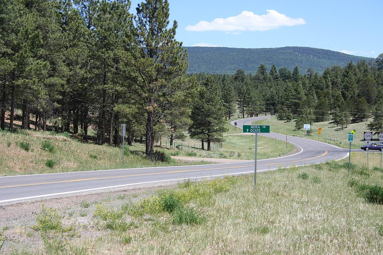
US 64 runs west from the plains town of Cimarron into the Sangre de Cristo Mountains, following the Cimarron River up a forested canyon. The two-lane road bends steadily beneath granite cliffs and tall conifers, and it ends at Eagle Nest, on the Enchanted Circle Scenic Byway.
Most of the climb runs through Cimarron Canyon State Park, which sits around 7,876 feet and is the center of the Colin Neblett Wildlife Management Area. The park has four campgrounds, fly fishing on the river, hiking and equestrian trails, and picnic areas, all reached directly from the highway.
It is 22 miles and about 32 minutes, and it climbs about 2,300 feet from the plains toward the Enchanted Circle.
Along the way
- Cimarron
- Eagle Nest
Good to know
- The state park lists day-use and camping fees and permits, so check its page before you stop to use the facilities.
- The canyon is a wildlife management area, and hunting is one of its listed activities, so expect anglers and others pulling off at the park.
- Rock climbing is prohibited in the state park.
- Winding two-lane road: pull out rather than tailgate, and use the pullouts to enjoy the river.
Open all year, weather permitting. Roads close for snow, fire, storms and repairs: before you set off, check NMRoads (NMDOT).
Questions about this drive
How long does Cimarron Canyon on US 64 take?
Cimarron Canyon on US 64 from Cimarron to Eagle Nest is 22 miles and takes about 32 minutes.
Is there a fee to drive through Cimarron Canyon State Park?
US 64 is a public highway, but the state park has its own fees and permits for facilities such as campsites. The park's page lists them.
What is there to do in Cimarron Canyon?
Cimarron Canyon State Park has fly fishing on the Cimarron River, four campgrounds, hiking and equestrian trails, and picnic areas, set in a forested canyon beside US 64.
Which way does the Cimarron Canyon drive go?
This drive goes west and uphill from the town of Cimarron to Eagle Nest, climbing about 2,300 feet along the river.
What you get in the app
Free on iPhone and Android. CarPlay and Android Auto come with Apex.
More drives near here


Distance, time, elevation, curves and intensity are from Carve's route. Checked 2026-10-28.