Drives Texas The Texas Panhandle and the Caprock
Highway 207: Claude to Silverton
TX 207, TX 86 · Claude → Silverton

The drive
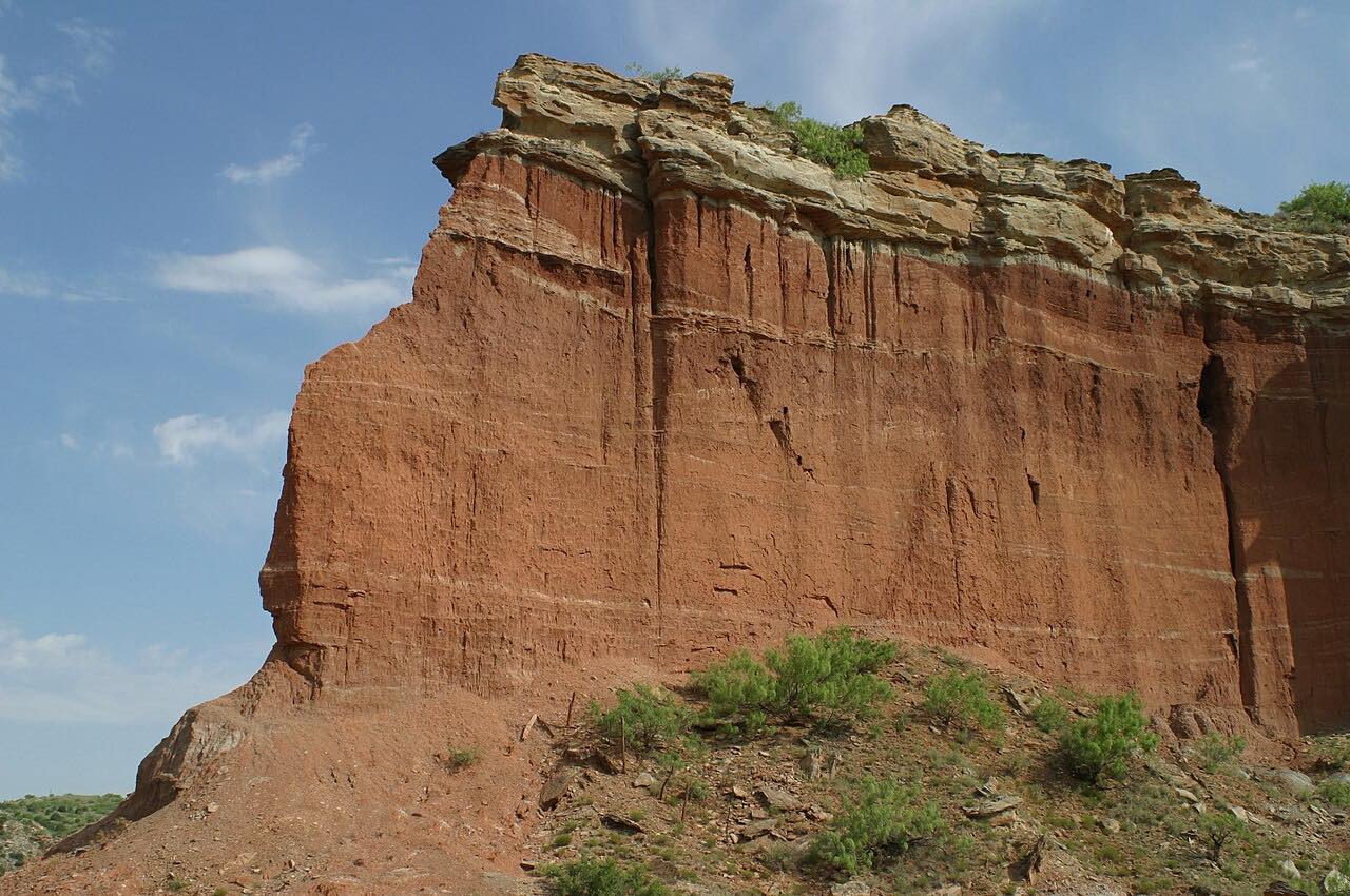
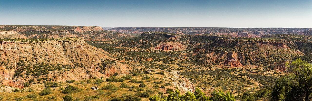
For most of its length, Highway 207 between Claude and Silverton is a straight two-lane across the flat High Plains. Then, south of Claude, the plains break open. The road drops off the Caprock into Palo Duro Canyon, the same canyon as the state park downstream, and winds down through red rock to cross the Prairie Dog Town Fork of the Red River.
This canyon section is Hamblen Drive, named for Will Hamblen, a rancher who hauled cedar posts out of the canyon in the 1890s and pushed for years for a proper road. It was graded in 1928 and paved in 1954, and a historical marker stands at an overlook on the canyon rim.
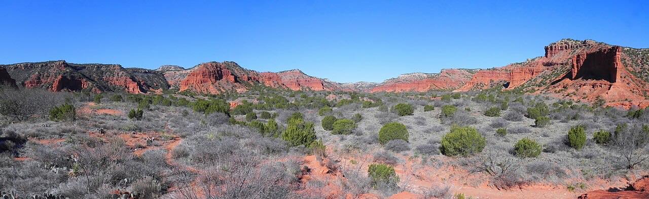
After climbing back to the plains, the road crosses a second canyon, Tule Canyon, where in 1874 the US Army destroyed more than a thousand Comanche horses during the Red River War. It ends in Silverton, the Briscoe County seat, where Highway 86 carries on east toward Caprock Canyons.
Along the way
- Claude
- Silverton
Good to know
- The canyon crossings have grades and curves that come suddenly after miles of straight road; slow down before the rim.
- There's a roadside park with a canyon view; it's a good place to stop and look.
- Lake Mackenzie, a reservoir with a marina and campground, is reached from Highway 207 north of Silverton.
Open all year, weather permitting. Roads close for snow, fire, storms and repairs: before you set off, check TxDOT DriveTexas.
Questions about this drive
How long is Highway 207 from Claude to Silverton?
Highway 207 from Claude to Silverton is 50.4 miles and takes about 50 minutes without stops.
Does Highway 207 go through Palo Duro Canyon?
Yes. South of Claude, Highway 207 drops into Palo Duro Canyon on Hamblen Drive and crosses the Prairie Dog Town Fork of the Red River, upstream of Palo Duro Canyon State Park.
Is Highway 207 a twisty road?
Mostly no. Highway 207 is straight across the plains, with curves and grades only where it dips into Palo Duro and Tule canyons.
Where does the Highway 207 drive end?
It ends in Silverton, where Highway 86 heads east down off the Caprock to Quitaque and Caprock Canyons State Park.
What you get in the app
Free on iPhone and Android. CarPlay and Android Auto come with Apex.
More drives near here


Distance, time, elevation, curves and intensity are from Carve's route. Checked 2026-10-28.