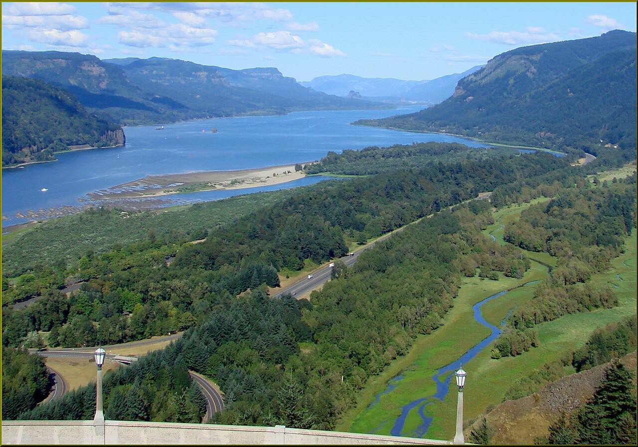
Drives Oregon The Columbia Gorge
Larch Mountain Road
Columbia River Gorge, Oregon · Historic Columbia River Highway → Larch Mountain picnic area

The drive
Larch Mountain Road is the highest road in Multnomah County. It leaves the Historic Columbia River Highway near Crown Point and climbs 13 miles through dense fir forest, with about 2,800 feet of climb, to a picnic area just below the 4,055-foot summit.
The curves are wide and sweeping, and the drive takes about 25 minutes. At the top a short trail leads to Sherrard Point. Larch Mountain is a dead end, so you return the way you came, and the end of the drive is on the road short of the summit parking loop.
Along the way
- Historic Columbia River Highway
- Larch Mountain picnic area
Good to know
- The upper road is gated at about milepost 10 each winter and reopens in spring.
- A short trail from the summit picnic area leads to Sherrard Point.
The upper road is gated at milepost 10 from about late November until late April or May. Roads close for snow, fire, storms and repairs: before you set off, check Multnomah County: Larch Mountain Road.
Questions about this drive
How long does Larch Mountain Road take to drive?
Larch Mountain Road from the Historic Columbia River Highway to the summit picnic area is 13 miles and takes about 25 minutes one way.
Is Larch Mountain Road open in winter?
No. Multnomah County gates the upper road near milepost 10 each late autumn and reopens it in spring.
How high is Larch Mountain?
The summit is 4,055 feet, the highest point on a county road in Multnomah County.
What you get in the app
Free on iPhone and Android. CarPlay and Android Auto come with Apex.
More drives near here


Distance, time, elevation, curves and intensity are from Carve's route. Checked 2026-10-28.