
Drives Yukon The Yukon and the Northwest Territories
Alaska Highway: Kluane Lake
Alaska Highway, Highway 1 · Haines Junction → Burwash Landing


The drive
The Alaska Highway from Haines Junction to Burwash Landing is 72.5 miles and takes about 1 hr 22 min. It heads northwest along the Kluane Ranges and the shore of Kluane Lake past Destruction Bay. It climbs 4,075 feet to a high point of 3,337 feet through wide valleys with big mountain views.
This stretch has few bends but is chosen for the scenery. Services are at Haines Junction, Destruction Bay and Burwash Landing.
The road crosses permafrost country, and frost heaves and patched asphalt are normal, marked by orange flags.
Along the way
- Haines Junction (Alaska Highway)
- Burwash Landing
Good to know
- Frost heaves and rough patches are normal; watch for orange flags.
- Services are at Haines Junction, Destruction Bay and Burwash Landing only.
- The road is open year round.
Open all year, weather permitting. Roads close for snow, fire, storms and repairs: before you set off, check Yukon 511.
Questions about this drive
How long does the Alaska Highway along Kluane Lake take?
Haines Junction to Burwash Landing is 72.5 miles and takes about 1 hr 22 min.
Are there frost heaves on the Alaska Highway at Kluane Lake?
Yes. Permafrost causes frost heaves and breaks, and crews mark them with flags.
Is the Alaska Highway open in winter at Kluane Lake?
It is a year-round highway. Check Yukon 511 for conditions.
What you get in the app
Free on iPhone and Android. CarPlay and Android Auto come with Apex.
More drives near here
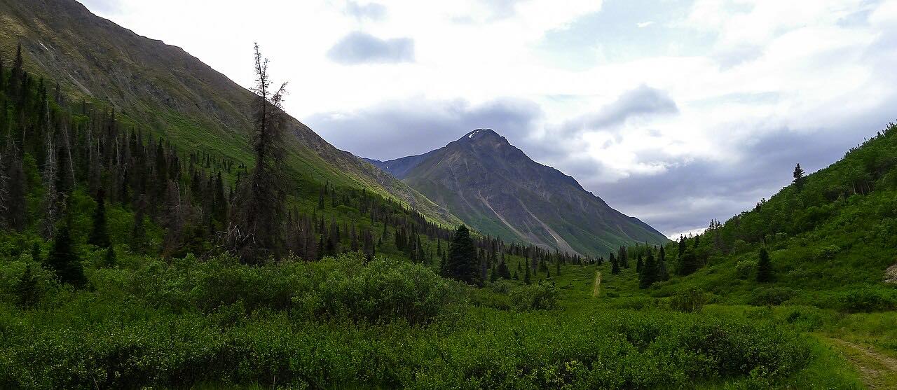 Haines Road: Haines Junction to Chilkat PassLeisurely · Haines Road, Highway 3 · 95 mi
 Klondike Highway: White PassLeisurely · Klondike Highway, AK 98 · 12.2 mi
 Haines HighwayLeisurely · Haines Highway, AK 7 · 31 mi
 Klondike Highway: Stewart Crossing to DawsonLeisurely · Klondike Highway, Highway 2 · 108 mi
Distance, time, elevation, curves and intensity are from Carve's route. Checked 2026-10-28.