
Drives Yukon The Yukon and the Northwest Territories
Klondike Highway: Stewart Crossing to Dawson
Klondike Highway, Highway 2 · Stewart Crossing → Dawson City

The drive
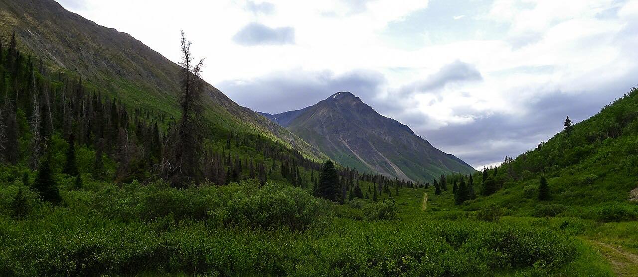
The Klondike Highway (Yukon 2) runs 107.6 miles north from Stewart Crossing to Dawson City. The drive takes about 2 hr 19 min and climbs 3,534 feet to a high point of 2,507 feet. It follows the Tintina Trench with long sweeping bends and a few climbs, and passes the Dempster Highway junction.
The Dempster is gravel and is not part of this drive. The route ends just short of Dawson City.
The road is open year round with winter driving, and services are at Stewart Crossing and Dawson only.
Along the way
- Stewart Crossing (Klondike Highway)
- Dawson City
Good to know
- Services are at Stewart Crossing and Dawson only, so fill up first.
- Winter driving conditions apply.
- The Dempster Highway turnoff is gravel and not part of this route.
Open all year, weather permitting. Roads close for snow, fire, storms and repairs: before you set off, check Yukon 511.
Questions about this drive
How long does the Klondike Highway from Stewart Crossing to Dawson take?
It is 107.6 miles and takes about 2 hr 19 min.
Is the Klondike Highway open in winter?
It is a year-round highway with winter driving. Check Yukon 511 for conditions.
Where is the Dempster Highway junction?
On the Klondike Highway between Stewart Crossing and Dawson City.
What you get in the app
Free on iPhone and Android. CarPlay and Android Auto come with Apex.
More drives near here


Distance, time, elevation, curves and intensity are from Carve's route. Checked 2026-10-28.