Drives Sharjah, United Arab Emirates Fujairah, Khor Fakkan and the East Coast
Khorfakkan Road (S142)
Khorfakkan Road, S142 · Khorfakkan Road → Khor Fakkan


The drive
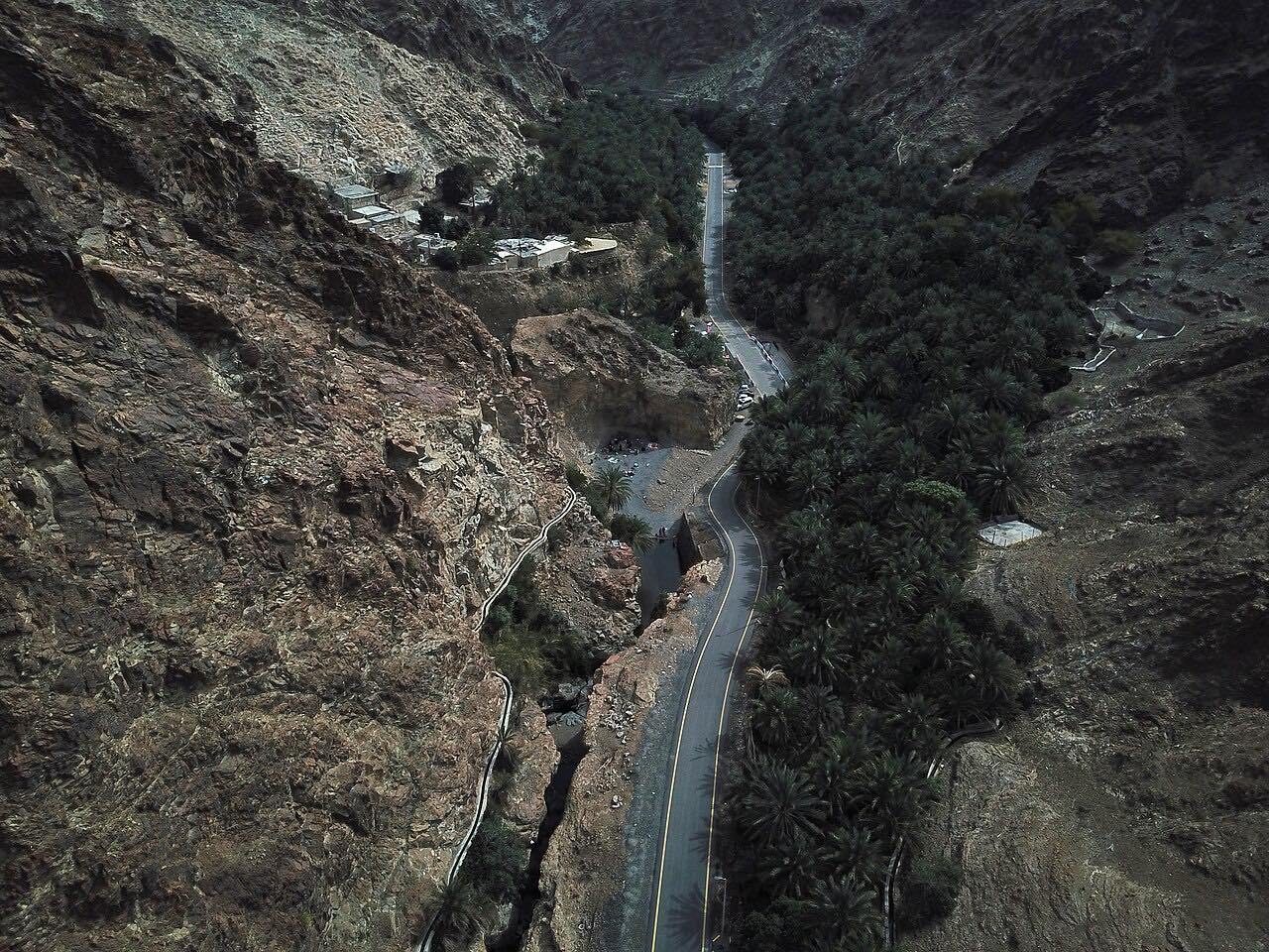
Khorfakkan Road, S142, crosses the Hajar Mountains from the Masafi fork to Khor Fakkan, 21 km (13 mi) in about 15 minutes. It is a modern divided highway that goes through the range by tunnel rather than over a steep pass; the whole Sharjah to Khorfakkan highway has five tunnels. Long sweepers link them, with one tighter stretch.
Al Rafisah Dam sits beside the road, with walking areas and viewpoints around it. The dam was built over a village, and in very calm water the old rooftops can be seen. After the dam the road drops to the Gulf of Oman at Khor Fakkan, where there is a beach, an amphitheater and a waterfall. The drive starts at the fork and does not include the straight run in from the E55 junction near Dhaid.
Along the way
- Khorfakkan Road (Masafi fork)
- Al Rafisah Dam
- Khor Fakkan (S142 end)
Good to know
- Rain is the main hazard in the mountains: check the weather and never cross flooded sections.
- Sharjah RTA closes individual tunnels now and then for maintenance, usually with a signed diversion.
- Fog and rain are the things to watch for in the mountains.
Open all year, weather permitting. Roads close for snow, fire, storms and repairs: before you set off, check Visit Sharjah.
Questions about this drive
How long does Khorfakkan Road take through the Hajar Mountains?
Khorfakkan Road (S142) from the Masafi fork to Khor Fakkan is 21 km (13 mi) and takes about 15 minutes.
Are there tunnels on Khorfakkan Road?
Yes. The Sharjah to Khorfakkan highway crosses the Hajar Mountains through five tunnels.
Is Khorfakkan Road safe in rain?
Rain is the main hazard on the road. Check the weather and never cross flooded sections.
What is Al Rafisah Dam on Khorfakkan Road?
Al Rafisah Dam is a dam beside the mountain highway to Khor Fakkan, with walking areas and viewpoints.
What you get in the app
Free on iPhone and Android. CarPlay and Android Auto come with Apex.
More drives near here
 Masafi to Fujairah: Wadi HamLeisurely · Sheikh Maktoum Bin Rashid Al Maktoum Road, E89 · 13.7 mi
 Masafi to Dibba (E89)Leisurely · Masafi-Dibba Road, Dibba Truck Road · 21 mi
 Khor Fakkan to Fujairah (E99)Leisurely · E99, Qidfa Bypass Road · 14 mi
 Mleiha Road: Dhaid to MadamLeisurely · Al Dhaid-Maliha Road, Al Dhaid Road · 24 mi
Distance, time, elevation, curves and intensity are from Carve's route. Checked 2026-10-28.