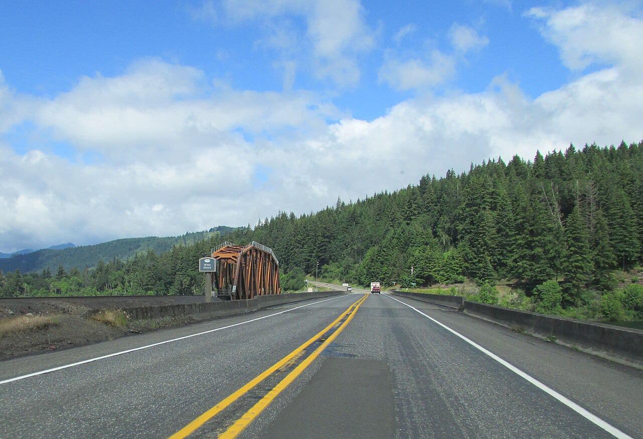

The drive
SR 14 runs along the Washington side of the Columbia River Gorge. This drive starts at Washougal and runs east, climbing over the cliffs at Cape Horn, then passing Beacon Rock, Stevenson and Bingen. Beacon Rock is a volcanic plug about 800 feet high that rises along the highway.
The road crosses three climate zones: wet forest in the west gives way to dry oak hills near Lyle. Near the east end it passes through short unlined rock tunnels. There are views across the river to Oregon most of the way.
It is a two-lane road with sweepers and some twisty bits, and about 35 mph stretches through towns. It takes about an hour and twenty minutes.
Along the way
- Washougal
- Cape Horn
- Beacon Rock
- Stevenson
- Lyle (Klickitat River)
Good to know
- Expect lane closures near Bingen for Port of Klickitat road work.
- Slides and debris flows near Cape Horn and Beacon Rock have caused short closures in the past.
- Wind in the Gorge can be strong, and traffic is heavier on summer weekends.
- Fuel and food are in Washougal, Stevenson and Bingen.
Open all year, weather permitting. Roads close for snow, fire, storms and repairs: before you set off, check WSDOT travel map and alerts.
Questions about this drive
How long does Highway 14 from Washougal to Lyle take?
Washougal to Lyle on SR 14 is 58.3 miles and takes about 1 hr 20 min.
What is there to see on Highway 14 in the Columbia Gorge?
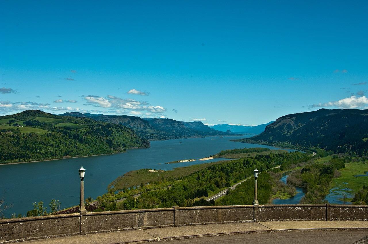
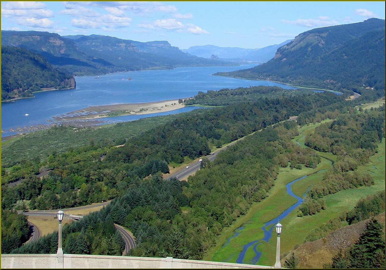
The route passes Cape Horn, Beacon Rock, Stevenson and Bingen, with views across the Columbia River to Oregon.
Is Highway 14 twisty?
Mostly gentle curves, with some sweepers, tunnels and slower town stretches.
Is Highway 14 open in winter?
Yes, it is a state highway open year-round. Slides or construction can cause short closures, so check WSDOT.
What you get in the app
Free on iPhone and Android. CarPlay and Android Auto come with Apex.
More drives near here


Distance, time, elevation, curves and intensity are from Carve's route. Checked 2026-10-28.