Drives California The High Sierra
Highway 140: Mariposa to El Portal
CA 140, Central Yosemite Highway · Mariposa → El Portal

The drive
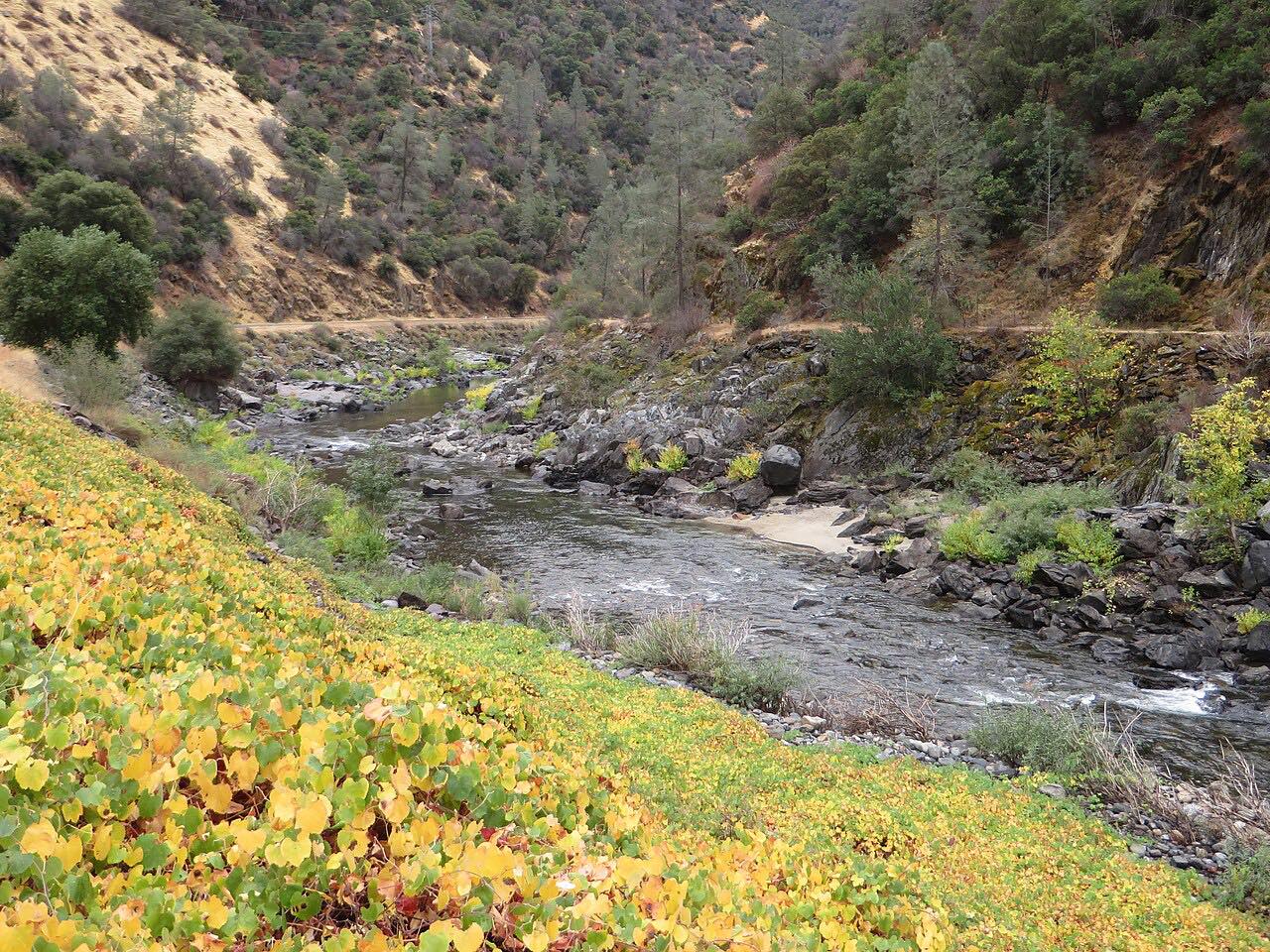
Highway 140 leaves Mariposa, climbs over the ridge at Midpines, and descends to the Merced River at Briceburg. From there it follows the river canyon up to El Portal, just outside Yosemite National Park. The curves are moderate, with two twistier stretches, one around miles 10 to 13 and one near 21 to 23.
At the Ferguson rockslide, traffic uses a temporary bypass on temporary bridges, shared in one lane. Caltrans has planned a permanent rock shed there, so expect work and check before you go. The drive ends in El Portal, before the Arch Rock entrance station.
Along the way
- Mariposa
- Briceburg
- El Portal
Good to know
- The Ferguson slide area uses a one-lane bypass, so expect waits.
- Caltrans' rock shed project may add work-zone delays; check the Caltrans page and Road 2 Yosemite before going.
- The drive ends in El Portal, before the park entrance station, so there is no park fee on this route.
Open all year, weather permitting. Roads close for snow, fire, storms and repairs: before you set off, check Caltrans: Ferguson Slide Project.
Questions about this drive
How long does Highway 140 from Mariposa to El Portal take?
Highway 140 from Mariposa to El Portal is 29 miles and takes about 45 min, plus any wait at the Ferguson bypass.
What is the Ferguson slide on Highway 140?
It is a rockslide area on Highway 140 in the Merced River canyon. Traffic uses a temporary bypass, and Caltrans plans a permanent rock shed there.
Is there an entrance fee on Highway 140 to El Portal?
This drive ends in El Portal before the Arch Rock entrance station, so no park fee is collected on it.
Is Highway 140 twisty?
It is mostly moderate curves, with two twistier stretches along the Merced River canyon.
What you get in the app
Free on iPhone and Android. CarPlay and Android Auto come with Apex.
More drives near here


Distance, time, elevation, curves and intensity are from Carve's route. Checked 2026-10-28.