
Drives California The High Sierra
Glacier Point Road
Glacier Point Road · Chinquapin → Glacier Point


The drive
Glacier Point Road leaves Wawona Road at Chinquapin and climbs about ten miles through red fir and pine forest to the rim of Yosemite Valley. It passes the Badger Pass ski area on the way, and the Sentinel Dome country lies along the upper road. The drive ends on the road just short of the Glacier Point parking lot.
The road is two lanes with frequent bends, and it rises about 1,260 feet to a high point near 7,800 feet. The overlook at the end looks across the valley to Half Dome. The whole trip takes about 21 minutes, but most people stop.
Glacier Point is roughly an hour from Yosemite Valley by road, and the drive is a natural side trip from Highway 41 on the way in or out of the park.
Along the way
- Chinquapin (Wawona Road)
- Glacier Point
Good to know
- A park entrance fee applies, and the National Park Service does not accept cash at entrances.
- The road is closed by snow in winter. Cars can usually drive it from late May through October or November, depending on conditions.
- Badger Pass ski area runs from mid to late December through March, but the road beyond it is not plowed for cars in winter.
- No overnight parking is allowed along the road or in its parking lots.
Closed by snow from about November to late May. Roads close for snow, fire, storms and repairs: before you set off, check Yosemite National Park: road conditions.
Questions about this drive
When is Glacier Point Road open?
Cars can usually drive Glacier Point Road from late May through October or November, depending on snow. The park posts current status on its conditions page.
How long does Glacier Point Road take?
From Chinquapin to near Glacier Point it's 10.3 miles and about 21 minutes. Glacier Point is roughly an hour from Yosemite Valley.
Is there a fee to drive Glacier Point Road?
The road is inside Yosemite National Park, so the park entrance fee applies. A standard pass is valid for seven consecutive days.
Can you drive Glacier Point Road in winter?
Not by car. Snow closes it, and in winter the Badger Pass ski area is the end of the road for most visitors.
What you get in the app
Free on iPhone and Android. CarPlay and Android Auto come with Apex.
More drives near here
 Tioga PassSweeping · Tioga Road and CA-120, Crane Flat to Lee Vining · 59 mi
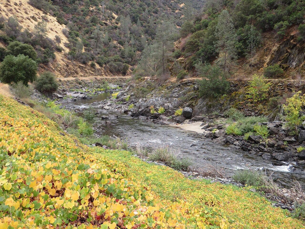 Highway 140: Mariposa to El PortalSweeping · CA 140, Central Yosemite Highway · 29 mi
 Highway 120: Groveland to Crane FlatSweeping · CA 120, Big Oak Flat Road · 29 mi
 June Lake LoopSweeping · June Lake Loop, June Lake Loop Road · 15.5 mi
Distance, time, elevation, curves and intensity are from Carve's route. Checked 2026-10-28.