
Drives West Virginia West Virginia and Western Maryland
Seneca Trail: Lewisburg to Marlinton
Seneca Trail, US 219 · Lewisburg → Marlinton


The drive
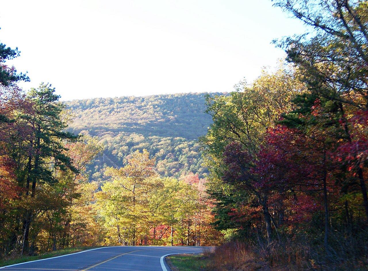
Much of US 219 in West Virginia follows the old Indian warpath known as the Seneca Trail. This drive runs north from Lewisburg, in Greenbrier County, through Hillsboro to Marlinton, in Pocahontas County.
The best-known stop is Droop Mountain Battlefield State Park, about 25 miles north of the Lewisburg exit of I-64 and about 15 miles south of Marlinton. It preserves the site of the Battle of Droop Mountain, the last major Civil War battle in the state, fought on November 6, 1863, and it was West Virginia's first state park. The park has a museum with battle artifacts and a lookout tower over the Greenbrier River valley.
The drive is 40.8 miles and takes about an hour and five minutes, mostly gentle with three twisty stretches.
Along the way
- Lewisburg
- Mill Point
- Marlinton
Good to know
- The park is listed as open 24/7, and Hillsboro is the nearest town.
- The battlefield park has no overnight stays.
- Check WV511 for current closures and conditions.
Open all year, weather permitting. Roads close for snow, fire, storms and repairs: before you set off, check WV511.
Questions about this drive
How long does the Seneca Trail from Lewisburg to Marlinton take?
Lewisburg to Marlinton on US 219 is 40.8 miles and takes about 1 hr 5 min without stops.
What is the Seneca Trail in West Virginia?
It is the old Indian warpath that much of US 219 in West Virginia follows.
What is Droop Mountain on US 219?
Droop Mountain Battlefield State Park preserves the site of the Battle of Droop Mountain, fought November 6, 1863. It has a museum and a lookout tower over the Greenbrier River valley.
What you get in the app
Free on iPhone and Android. CarPlay and Android Auto come with Apex.
More drives near here
 Highway 220: Covington to Hot SpringsTwisty · US 220, Sheep Meadow Road · 18.3 mi
 Highland Scenic HighwayLeisurely · Highland Scenic Highway, WV 150 · 22 mi
 Highway 39: Mill Point to RichwoodLeisurely · North Fork Cherry Highway, WV 39 · 28 mi
 Highway 311: Catawba to Paint BankSweeping · Catawba Valley Drive, VA 311 · 42 mi
Distance, time, elevation, curves and intensity are from Carve's route. Checked 2026-10-28.