
Drives New York The Hudson Valley and the Catskills
Hawk's Nest: Highway 97
NY 97, NY 42 · Port Jervis → Narrowsburg

The drive
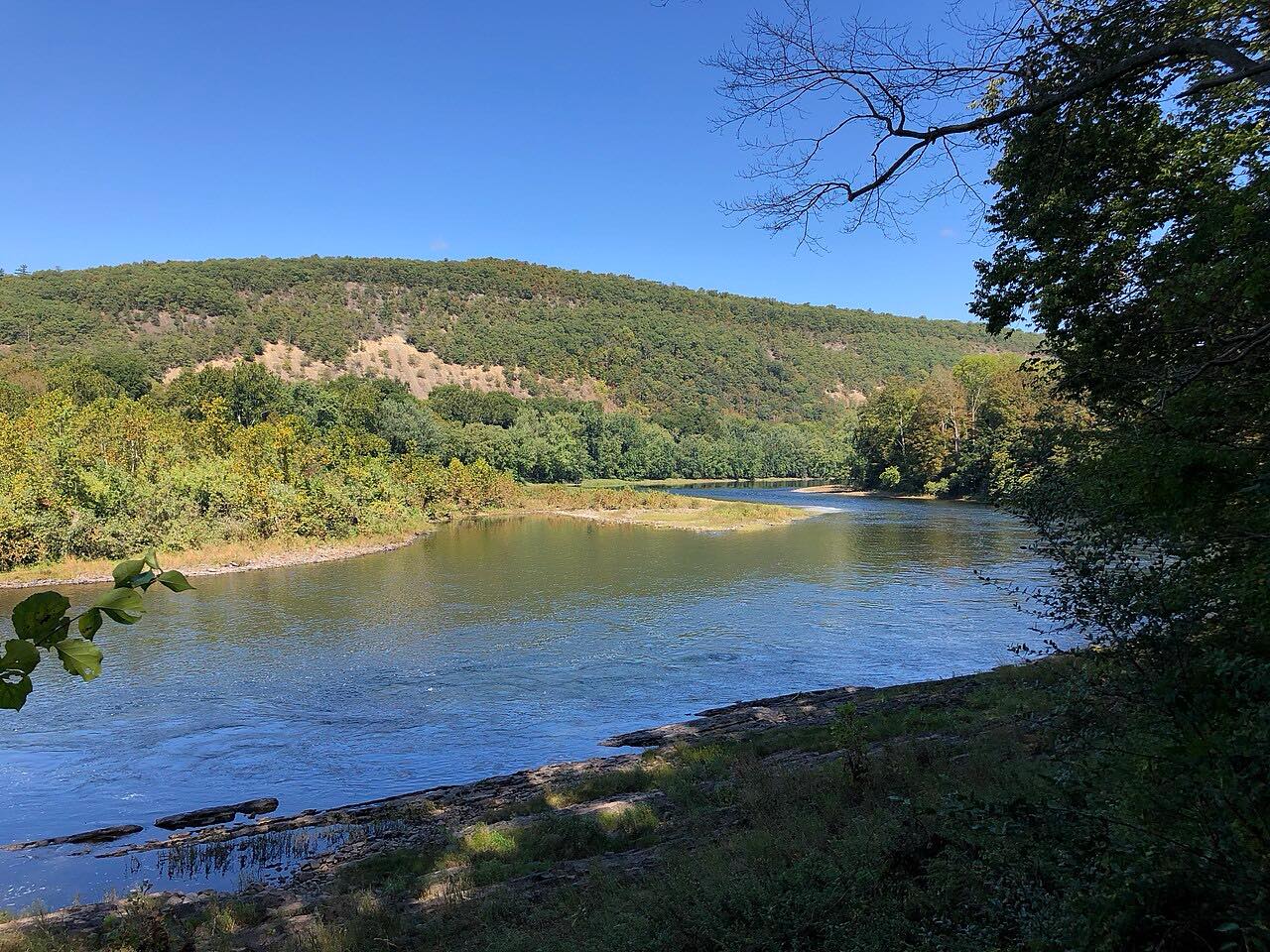
Highway 97 runs north from Port Jervis, beside the Delaware River. The first miles hold its most famous stretch, the Hawk's Nest: a winding road along cliffs high above the river, with a low wall beside the drop.
The Nest was a one-lane dirt track used by loggers and coal miners until it was widened and paved in the early 1930s. Past it the road runs beside the river through Barryville, where a bridge crosses to Pennsylvania, and passes the turn to Roebling's Delaware Aqueduct at Minisink Ford. It ends at Narrowsburg, where it meets Highway 52.
The highway is the Upper Delaware Scenic Byway. It takes about 45 minutes, and Hawk's Nest is the slowest part.
Along the way
- Port Jervis
- Hawk's Nest
- Minisink Ford
- Narrowsburg
Good to know
- The Hawk's Nest is posted at 40 mph, and 25 mph is advised.
- The Nest is popular with motorcyclists, especially on weekends, and crashes are common.
- Check 511NY before a winter trip.
Open all year, weather permitting. Roads close for snow, fire, storms and repairs: before you set off, check 511NY traffic and travel information.
Questions about this drive
How long is Highway 97 from Port Jervis to Narrowsburg?
Highway 97 from Port Jervis to Narrowsburg is 31.9 miles and takes about 45 minutes.
What is the speed limit at Hawk's Nest?
The posted limit at Hawk's Nest on Highway 97 is 40 mph, with a suggested speed of 25 mph.
What is Hawk's Nest?
Hawk's Nest is a winding stretch of Highway 97 above the Delaware River north of Port Jervis.
Is Highway 97 a scenic byway?
Yes. It is designated the Upper Delaware Scenic Byway.
What you get in the app
Free on iPhone and Android. CarPlay and Android Auto come with Apex.
More drives near here



Distance, time, elevation, curves and intensity are from Carve's route. Checked 2026-10-28.