Drives New Jersey The Poconos, Eastern Pennsylvania and New Jersey
Highway 23 over High Point
NJ 23, CR 15 · Sussex → Port Jervis

The drive
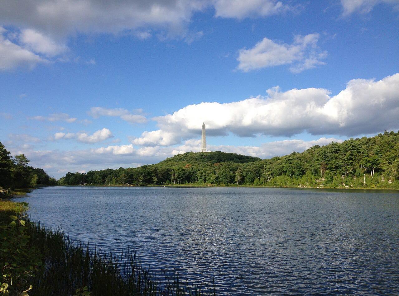
New Jersey Route 23 runs from Sussex up and over the Kittatinny Ridge and on to the New York line at Port Jervis. Along the way it passes High Point State Park, which Route 23 runs alongside.
High Point, at 1,803 feet, is the highest point in New Jersey and the highest peak of the Kittatinny Mountains. The High Point Monument there is a 220-foot obelisk built in 1930 as a war memorial. It has 291 steps to its highest viewing platform, and New Jersey, New York and Pennsylvania can be seen from the top.
Along the way
- Sussex
- High Point State Park
- Port Jervis (New York line)
Good to know
- The Appalachian Trail runs along a ridge in the south of the park.
- Check NJ 511 for closures and roadwork before you go.
Open all year, weather permitting. Roads close for snow, fire, storms and repairs: before you set off, check 511NJ.
Questions about this drive
How long does Highway 23 over High Point take?
Sussex to Port Jervis on NJ 23 is 11.6 miles and takes about 20 min without stops.
How high is High Point, New Jersey?
High Point is 1,803 feet, the highest elevation in New Jersey. The monument on top is a 220-foot obelisk.
What you get in the app
Free on iPhone and Android. CarPlay and Android Auto come with Apex.
More drives near here




Distance, time, elevation, curves and intensity are from Carve's route. Checked 2026-10-28.