
Drives Arkansas The Ozarks: Arkansas and Missouri
Mount Nebo: Highway 155
AR 155 · Dardanelle → Mount Nebo

The drive
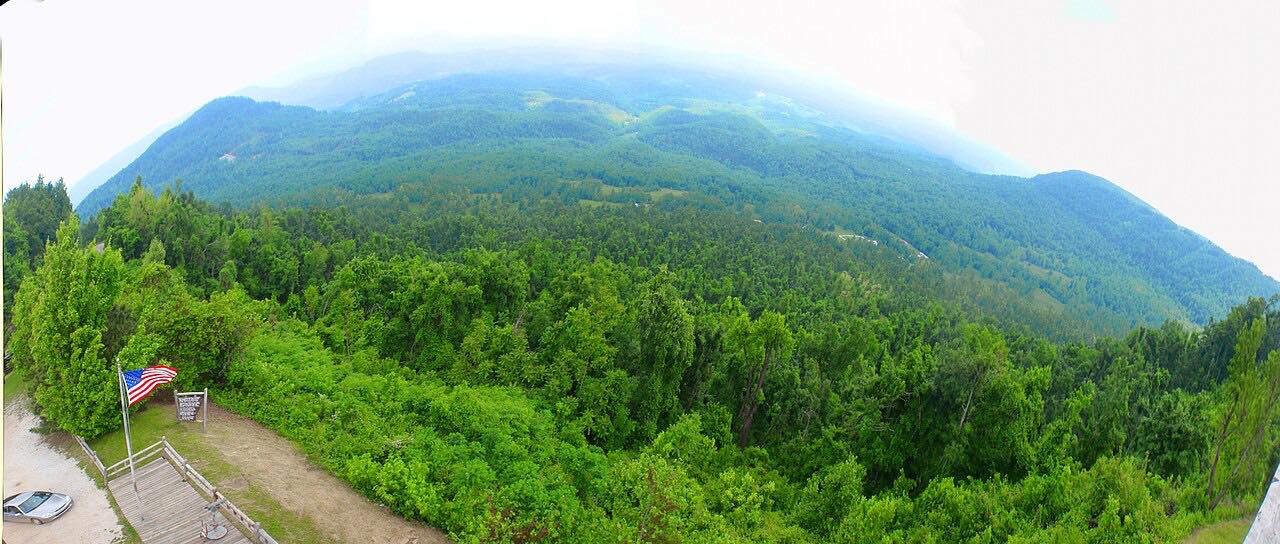
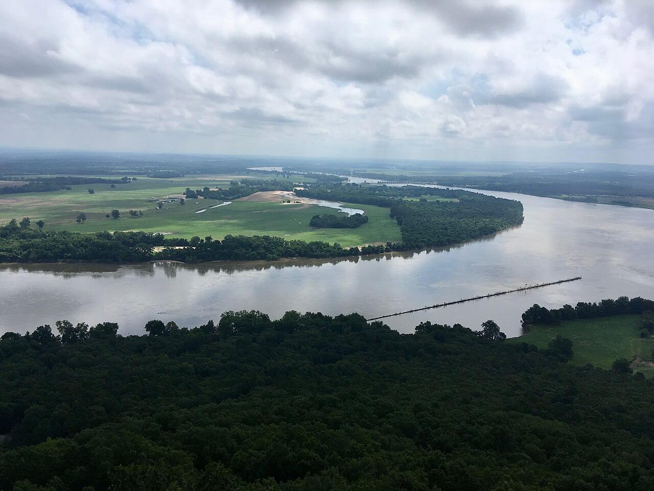
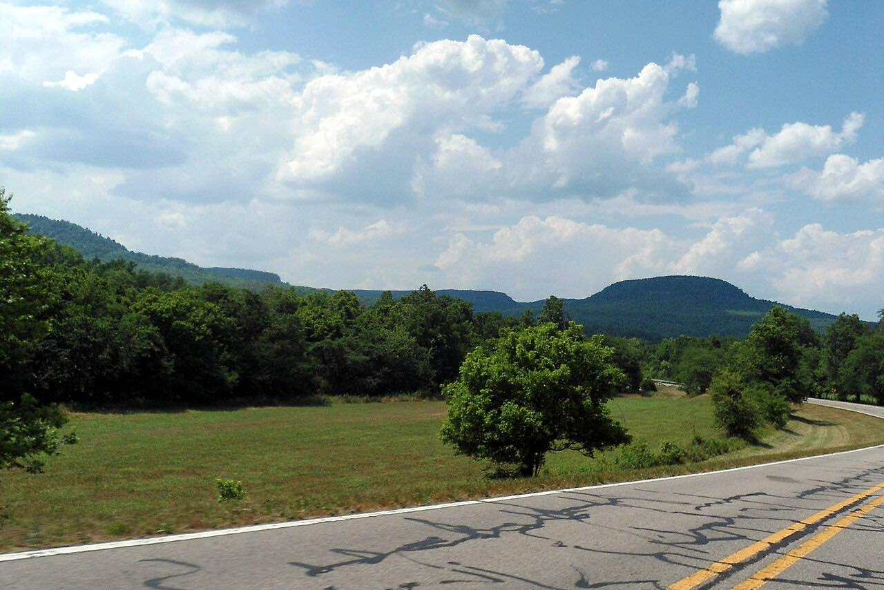
Highway 155 is the only road up Mount Nebo, and this drive covers the climb from Highway 22 at Dardanelle. In about four miles the road gains the mountain through tight switchbacks, with grades that reach 18 percent in places. Mount Nebo State Park sits at the top, above the Arkansas River valley.
The road is a favorite with motorcyclists. It has 11 hairpin curves on the way up, and it is narrow enough that you will slow for oncoming traffic. The full state highway runs 7.1 miles to Sunset Point on the north rim; this drive stops short, on the highway before the park roads, after 4.3 miles and about 10 minutes.
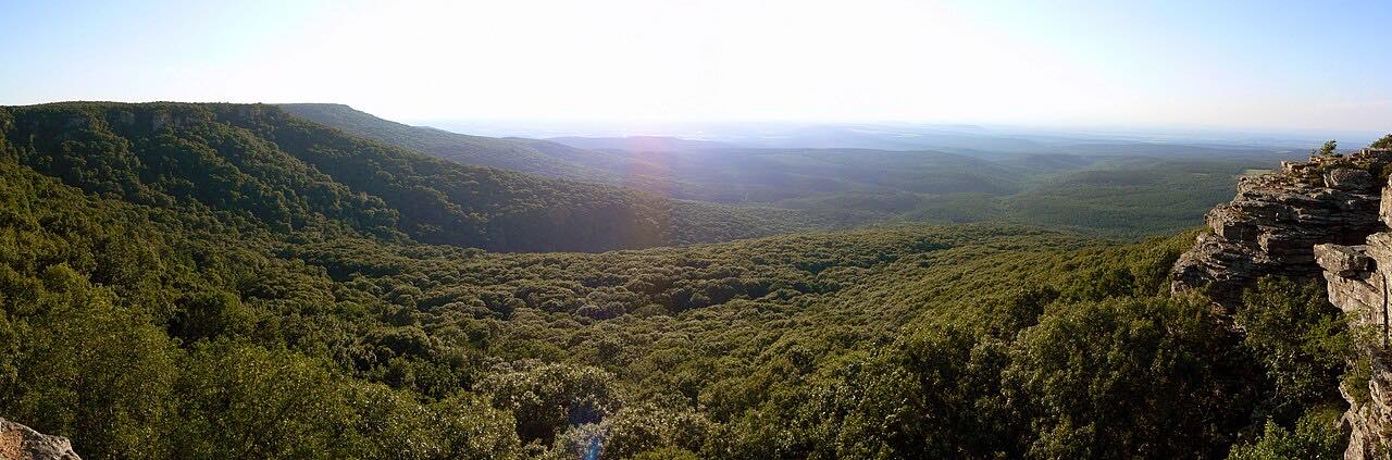
At the top, the Rim Trail offers panoramic views of the river valley, and many of the park's cabins and campsites sit along the bluff.
Along the way
- Dardanelle (Highway 22)
- Mount Nebo
Good to know
- The climb is steep with 11 hairpins and grades up to 18 percent, so use a low gear on the way down rather than riding the brakes.
- Trailers and RVs over 24 feet are not allowed in the state park, and the climb is a poor fit for long rigs.
- This is the only road up the mountain, so there is no alternate route if it closes.
- Highway 155 is popular with motorcyclists, so expect them on the switchbacks and slow for oncoming traffic.
Open all year, weather permitting. Roads close for snow, fire, storms and repairs: before you set off, check IDrive Arkansas (ArDOT).
Questions about this drive
How long does the drive up Mount Nebo take?
Highway 155 from Dardanelle to Mount Nebo is 4.3 miles on this drive and takes about 10 minutes.
How steep is Highway 155 up Mount Nebo?
Highway 155 climbs Mount Nebo through 11 hairpin curves, with grades reaching 18 percent in places.
Can RVs and trailers drive up Mount Nebo?
Trailers and RVs over 24 feet are prohibited in Mount Nebo State Park, and the switchback climb on Highway 155 is difficult for long rigs.
Is there another way up Mount Nebo besides Highway 155?
No. Highway 155 is the only road up and down the mountain.
What you get in the app
Free on iPhone and Android. CarPlay and Android Auto come with Apex.
More drives near here

Distance, time, elevation, curves and intensity are from Carve's route. Checked 2026-10-28.