Drives Ontario Toronto, Niagara and Southern Ontario
Calabogie Road
Calabogie Road, County Road 508 · Burnstown → Calabogie

The drive
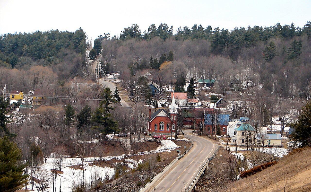
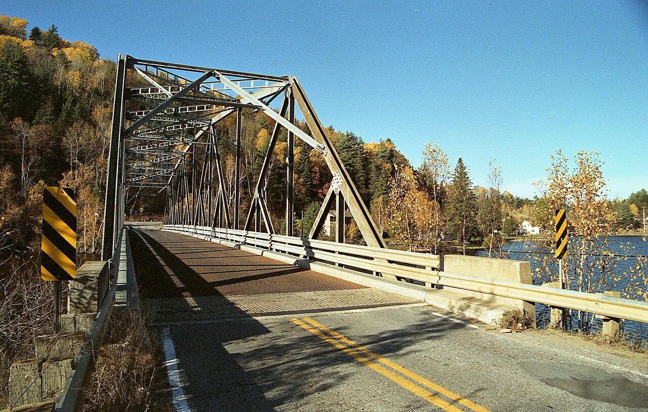
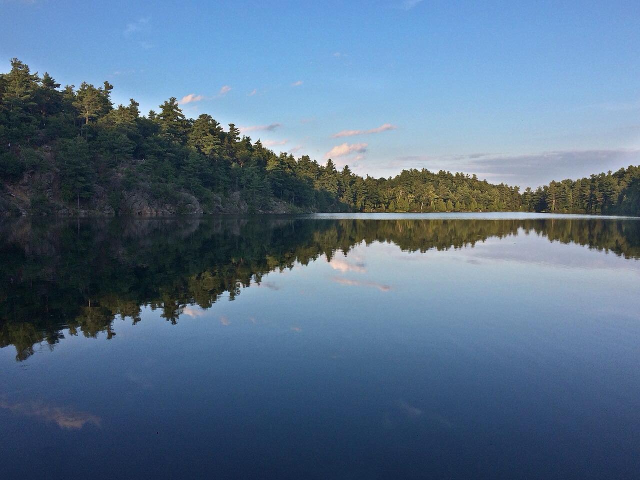
Calabogie Road, Renfrew County Road 508, runs 10 miles from Burnstown to Calabogie along the Madawaska River valley. Northern Ontario Travel calls it one of the province's best motorcycle roads, with long rock cuts and elevation changes. It ends at the lake in Calabogie.
Riders say the best curvy section is west of Calabogie, and this drive is the stretch nearer Ottawa.
Along the way
- Burnstown
- Calabogie
Good to know
- Renfrew County resurfacing on Calabogie Road can bring single-lane traffic under lights or flaggers.
- There are no services on the road itself, and wildlife is a risk.
Open all year, weather permitting. Roads close for snow, fire, storms and repairs: before you set off, check County of Renfrew: Construction update.
Questions about this drive
How long does Calabogie Road take?
Burnstown to Calabogie is 9.8 miles and takes about 15 minutes.
Is there construction on Calabogie Road?
Sometimes. Renfrew County has resurfaced parts of it, with single-lane traffic under lights or flaggers. Check the county's notices before you go.
What is Calabogie Road?
It's Renfrew County Road 508, a curvy road known to riders from Burnstown to Calabogie.
What you get in the app
Free on iPhone and Android. CarPlay and Android Auto come with Apex.
More drives near here


Distance, time, elevation, curves and intensity are from Carve's route. Checked 2026-10-28.