Drives Quebec Montreal, the Laurentians and the Eastern Townships
Route 307: Cantley to Val-des-Bois
Route Principale · Cantley → Val-des-Bois

The drive
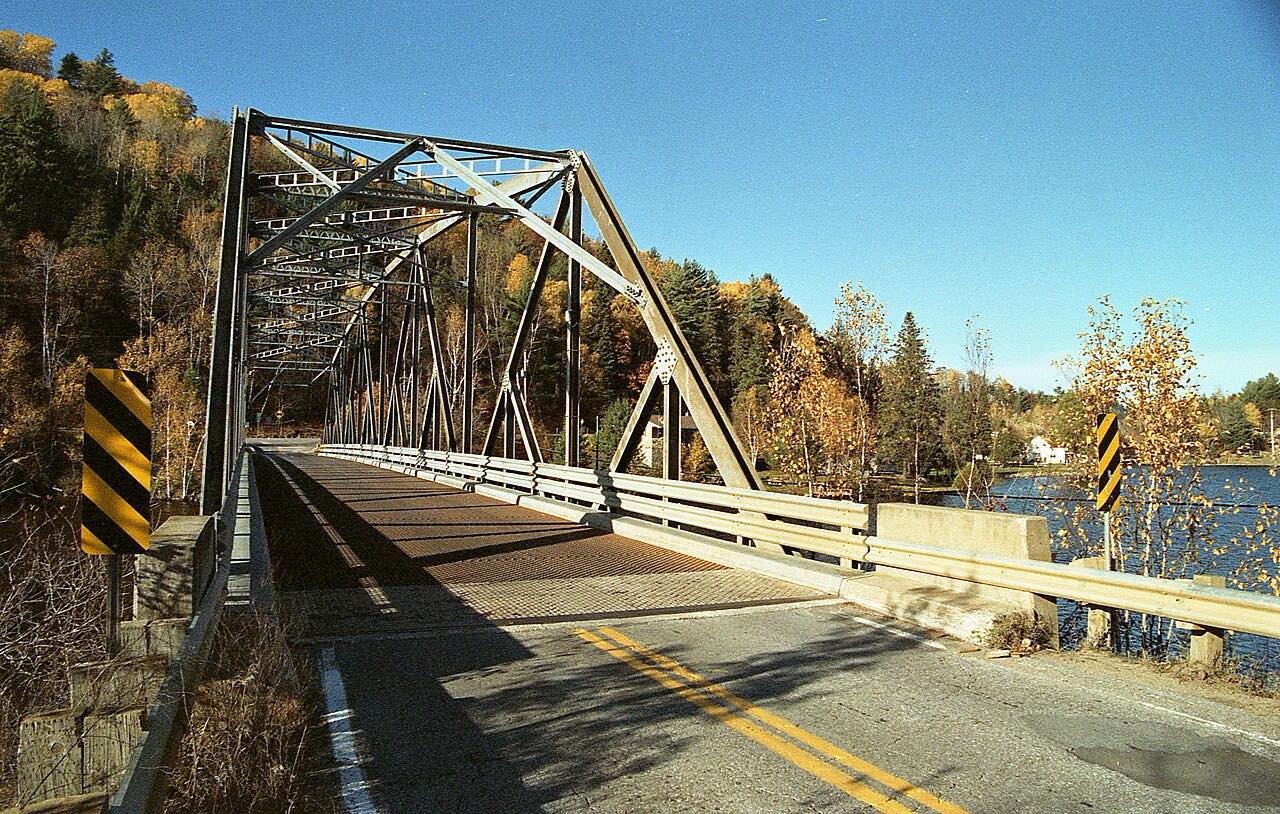
Route 307 runs north from Cantley, the end nearer Gatineau and Ottawa, to Val-des-Bois. Tourisme Outaouais lists it passing Réservoir l'Escalier, High Falls and Bowman, and calls the views picturesque, with small plots of farmland nestled at the foot of the hills.
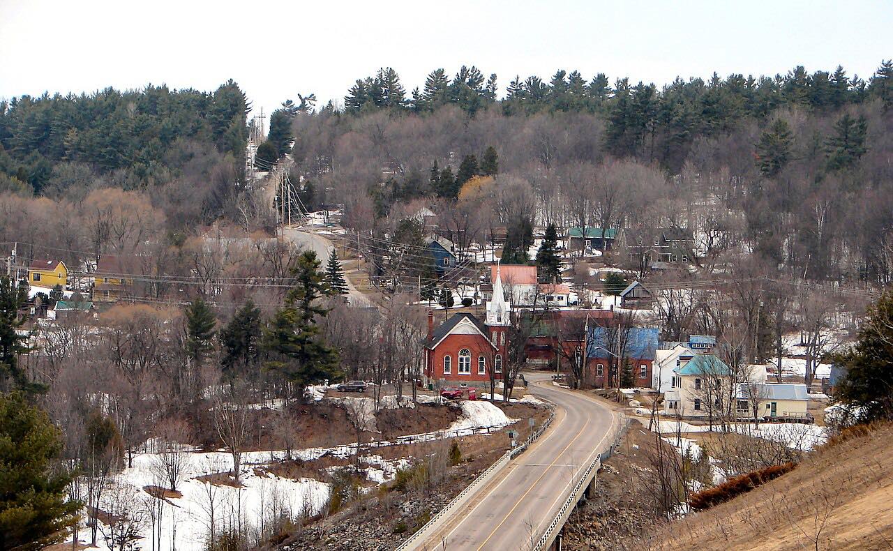
The drive ends at Val-des-Bois, just before Route 309, and the tourism office calls the drive up to the village very pretty. The way back goes south through the Vallée de la Lièvre toward Buckingham. The drive is 31.8 miles and takes about 45 minutes.
Along the way
- Cantley
- Val-des-Bois (Route 309)
Good to know
- Check Québec 511 for Outaouais roadwork before you go; summer work zones are posted there.
- Route 307 ends at Val-des-Bois. Tourisme Outaouais's ride returns south through the Vallée de la Lièvre toward Buckingham.
Open all year, weather permitting. Roads close for snow, fire, storms and repairs: before you set off, check Québec 511.
Questions about this drive
How long does Route 307 from Cantley to Val-des-Bois take?
Route 307 is 31.8 miles and takes about 45 minutes.
What does Route 307 in the Outaouais pass?
Tourisme Outaouais lists Réservoir l'Escalier, High Falls and Bowman along Route 307 before Val-des-Bois.
How do you get back from Val-des-Bois?
Tourisme Outaouais's route returns south through the Vallée de la Lièvre toward Buckingham.
What you get in the app
Free on iPhone and Android. CarPlay and Android Auto come with Apex.
More drives near here


Distance, time, elevation, curves and intensity are from Carve's route. Checked 2026-10-28.