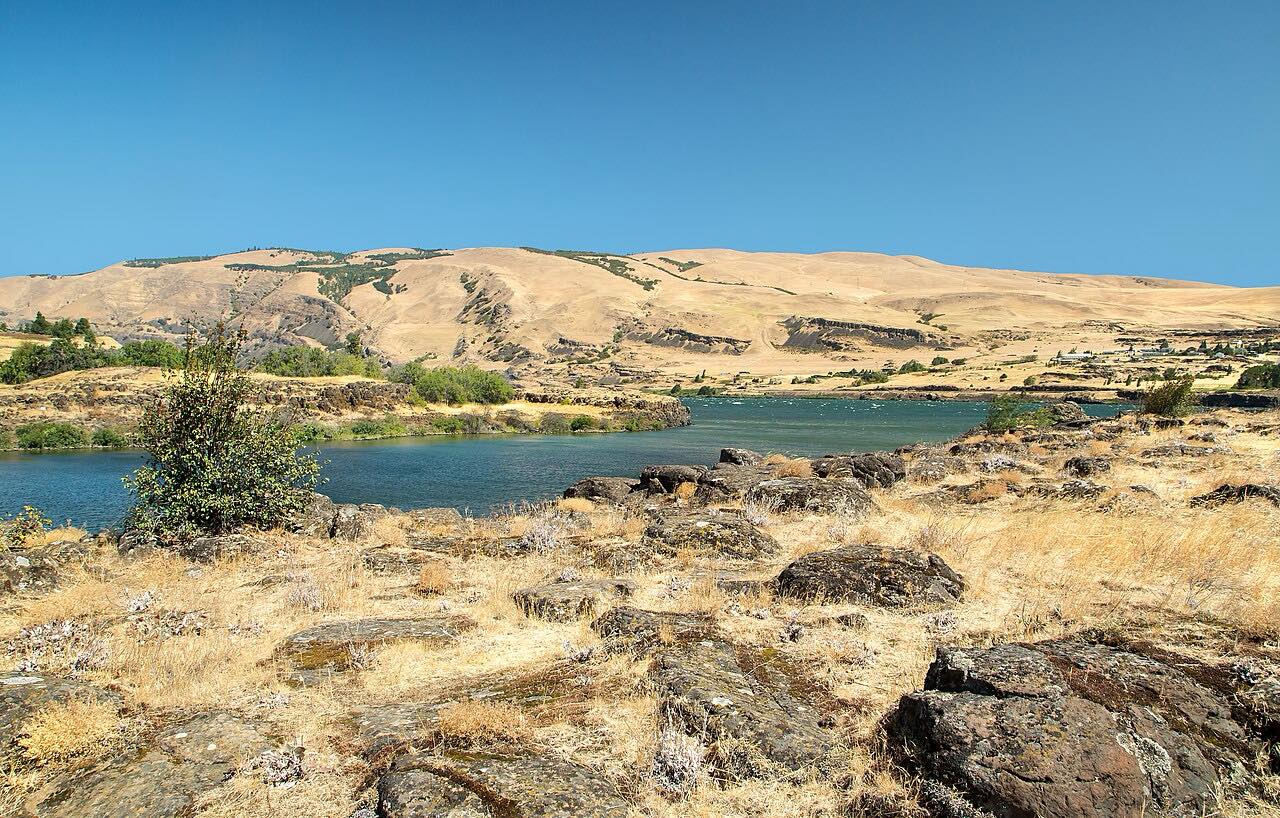

The drive
State Route 14 continues east up the Columbia from Lyle to Maryhill. This drive is 23.9 miles and takes about 32 minutes. It follows the north bank with the Oregon bluffs across the river, and it continues the Washougal to Lyle drive.
The road is a smooth two-lane with sweeping curves and little traffic, climbing about 2,000 feet over the route. Gorge views carry it more than curves. Near Maryhill the highway leaves the Columbia River Gorge National Scenic Area.
The Maryhill Museum of Art and Maryhill State Park are among the points of interest. The drive ends just before the US 97 junction at Maryhill.
Along the way
- Lyle (Highway 142)
- Maryhill (US-97)
Good to know
- SR 14 is part of the Lewis and Clark Trail Scenic Byway.
- Check WSDOT for current conditions.
- The Maryhill Museum of Art and Maryhill State Park are near the end of the drive.
Open all year, weather permitting. Roads close for snow, fire, storms and repairs: before you set off, check WSDOT: travel alerts and conditions.
Questions about this drive
How long does Highway 14 from Lyle to Maryhill take?
State Route 14 from Lyle to Maryhill is 23.9 miles and takes about 32 minutes.
Is Highway 14 through the Gorge twisty?
It has sweeping curves and gorge views rather than tight bends.
What is at Maryhill on Highway 14?
Maryhill has the Maryhill Museum of Art and Maryhill State Park, near the US 97 junction.
Which side of the Columbia is Highway 14 on?
State Route 14 runs on the Washington (north) side, opposite Interstate 84 in Oregon.
What you get in the app
Free on iPhone and Android. CarPlay and Android Auto come with Apex.
More drives near here


Distance, time, elevation, curves and intensity are from Carve's route. Checked 2026-10-28.