
Drives New Mexico Southern New Mexico
US-82: Alamogordo to Cloudcroft
US 82, Cloudcroft Highway, James Canyon Highway · Alamogordo → Cloudcroft

The drive
US 82 climbs out of the Tularosa Basin at the edge of Alamogordo and rises about 4,300 feet in 14.2 miles to Cloudcroft in the Sacramento Mountains. Alamogordo sits at roughly 4,335 feet and Cloudcroft at about 8,650, and the grade holds near a sustained six percent. The road leaves the basin quickly, entering Lincoln National Forest and running up steep Mexican Canyon, where abandoned railroad trestles of the El Paso and Northeastern Railway still stand.
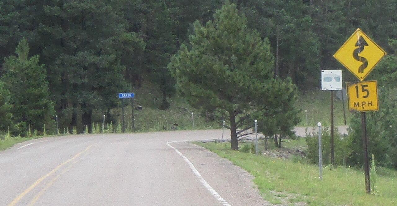
The highway passes through High Rolls and goes through a short rock tunnel that opened in 1949. It is the only highway tunnel in New Mexico. Bends are mostly gentle, with one tight stretch near the top, as the elevation builds.
The drive ends in Cloudcroft, the village at the top. It is driven uphill here, and it continues east as the James Canyon drive to Mayhill.
Along the way
- Alamogordo (foot of the climb)
- Cloudcroft
Good to know
- The climb is long and steady, around six percent, so expect brake-heavy driving on the way back down.
- Rockslides and falling trees have blocked the road at times; a January 2023 slide closed it, and crews have scaled loose rock since.
- Cloudcroft sits above 8,600 feet, so winter weather affects the top of the climb; check NMRoads before you go.
Open all year, weather permitting. Roads close for snow, fire, storms and repairs: before you set off, check NMRoads (NMDOT road conditions).
Questions about this drive
How long does US 82 from Alamogordo to Cloudcroft take?
US 82 from Alamogordo to Cloudcroft is 14.2 miles and takes about 20 minutes without stops.
How steep is the climb on US 82 to Cloudcroft?
It gains about 4,300 feet over 14.2 miles at a sustained grade near six percent, from about 4,335 feet at Alamogordo to roughly 8,650 feet at Cloudcroft.
Is there a tunnel on US 82 near Cloudcroft?
Yes. A short rock tunnel opened in 1949 on US 82 west of High Rolls and Mountain Park. It is the only highway tunnel in New Mexico.
How high is Cloudcroft?
Cloudcroft sits at about 8,650 feet, roughly 4,300 feet above Alamogordo at the foot of the climb.
What you get in the app
Free on iPhone and Android. CarPlay and Android Auto come with Apex.
More drives near here


Distance, time, elevation, curves and intensity are from Carve's route. Checked 2026-10-28.