
Drives Louisiana Louisiana and Mississippi
Creole Nature Trail: Highway 27
LA 27, LA 1256, Highway 82 · Sulphur → Cameron

The drive
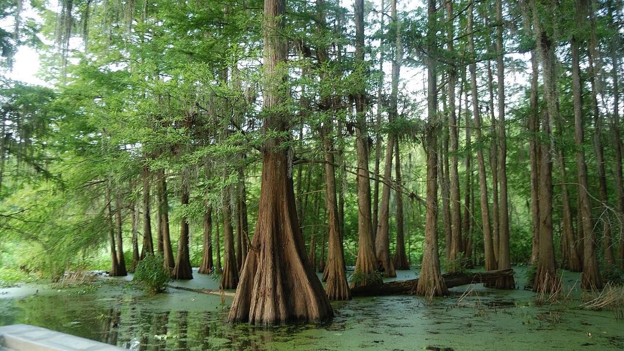
The Creole Nature Trail is a Louisiana All-American Road through prairies, marshes and coastline. This drive covers the Highway 27 section, going south from Sulphur through Hackberry and the Sabine marshes to the Gulf at Holly Beach. It then runs east along the shore to Cameron.
Sabine National Wildlife Refuge is on this route, a major wintering ground for waterfowl, with a 1.5-mile Wetland Walkway. Hackberry is known for shrimp and crab houses. Holly Beach offers swimming, picnicking and shell hunting. Signs mark places where alligators cross, and they can grow to 14 feet.
The route is 44.4 miles and takes about 57 minutes. It is flat and straight, so the coast and wildlife are the reason to go. It ends in Cameron.
Along the way
- Sulphur
- Holly Beach
- Cameron
Good to know
- Watch for alligators at marked crossing spots.
- Hurricanes have damaged this coast before, so check the 511 page after any storm.
- The drive ends in Cameron; a car ferry across the Calcasieu Ship Channel serves the community.
Open all year, weather permitting. Roads close for snow, fire, storms and repairs: before you set off, check 511LA (Louisiana DOTD).
Questions about this drive
How long is the Creole Nature Trail on Highway 27?
Highway 27 from Sulphur to Cameron is 44.4 miles and takes about 57 minutes.
Is the Creole Nature Trail twisty?
No. The route is flat and straight. The coastal views and wildlife are the draw.
What wildlife can you see on the Creole Nature Trail?
Alligators and migratory waterfowl are common, especially around Sabine National Wildlife Refuge.
What you get in the app
Free on iPhone and Android. CarPlay and Android Auto come with Apex.
More drives near here



Distance, time, elevation, curves and intensity are from Carve's route. Checked 2026-10-28.