Drives Louisiana Louisiana and Mississippi
Bayou Teche: Highway 31
LA 31 · Breaux Bridge → New Iberia

The drive
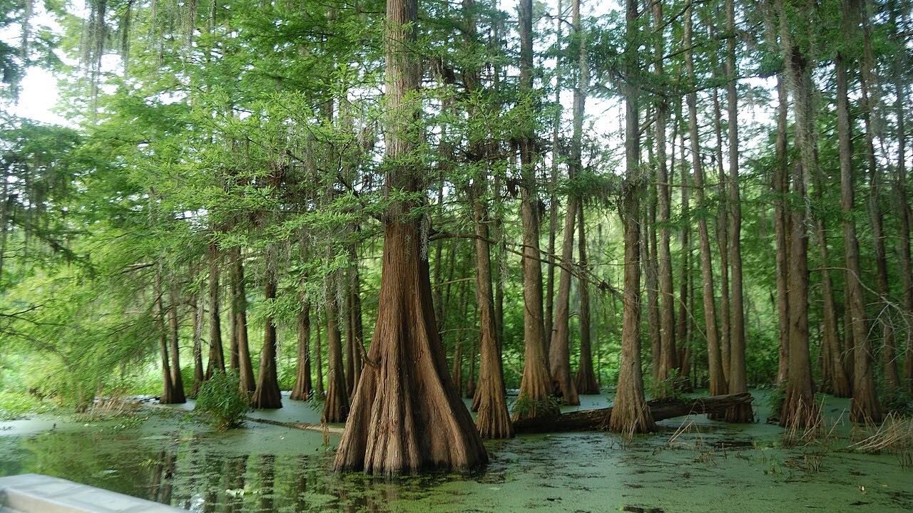
Highway 31 follows the Bayou Teche south from Breaux Bridge through St. Martinville to New Iberia. Live oaks and old farm structures dot the route, and the road runs along the west bank of the bayou. Breaux Bridge is a bilingual town proud of its Cajun French ancestry.
In St. Martinville the Evangeline Oak stands on the bank of the bayou in Evangeline Oak Park, tied to Longfellow's poem "Evangeline." The drive continues to New Iberia, with town speeds in Breaux Bridge and St. Martinville.
The route is 20.6 miles and takes about 33 minutes, nearly flat with 30 feet of climbing.
Along the way
- Breaux Bridge
- St. Martinville
- New Iberia
Good to know
- Town speed limits apply in Breaux Bridge and St. Martinville.
- The road is a winding two-lane along the bayou bank.
Open all year, weather permitting. Roads close for snow, fire, storms and repairs: before you set off, check 511LA (Louisiana DOTD).
Questions about this drive
How long is Highway 31 from Breaux Bridge to New Iberia?
Highway 31 from Breaux Bridge to New Iberia is 20.6 miles and takes about 33 minutes.
Where is the Evangeline Oak on Highway 31?
The Evangeline Oak is in Evangeline Oak Park in St. Martinville, on the bank of Bayou Teche.
Is Highway 31 part of the Bayou Teche Scenic Byway?
The Bayou Teche Scenic Byway follows Highway 31 and Highway 182 along the bayou.
What you get in the app
Free on iPhone and Android. CarPlay and Android Auto come with Apex.
More drives near here


Distance, time, elevation, curves and intensity are from Carve's route. Checked 2026-10-28.