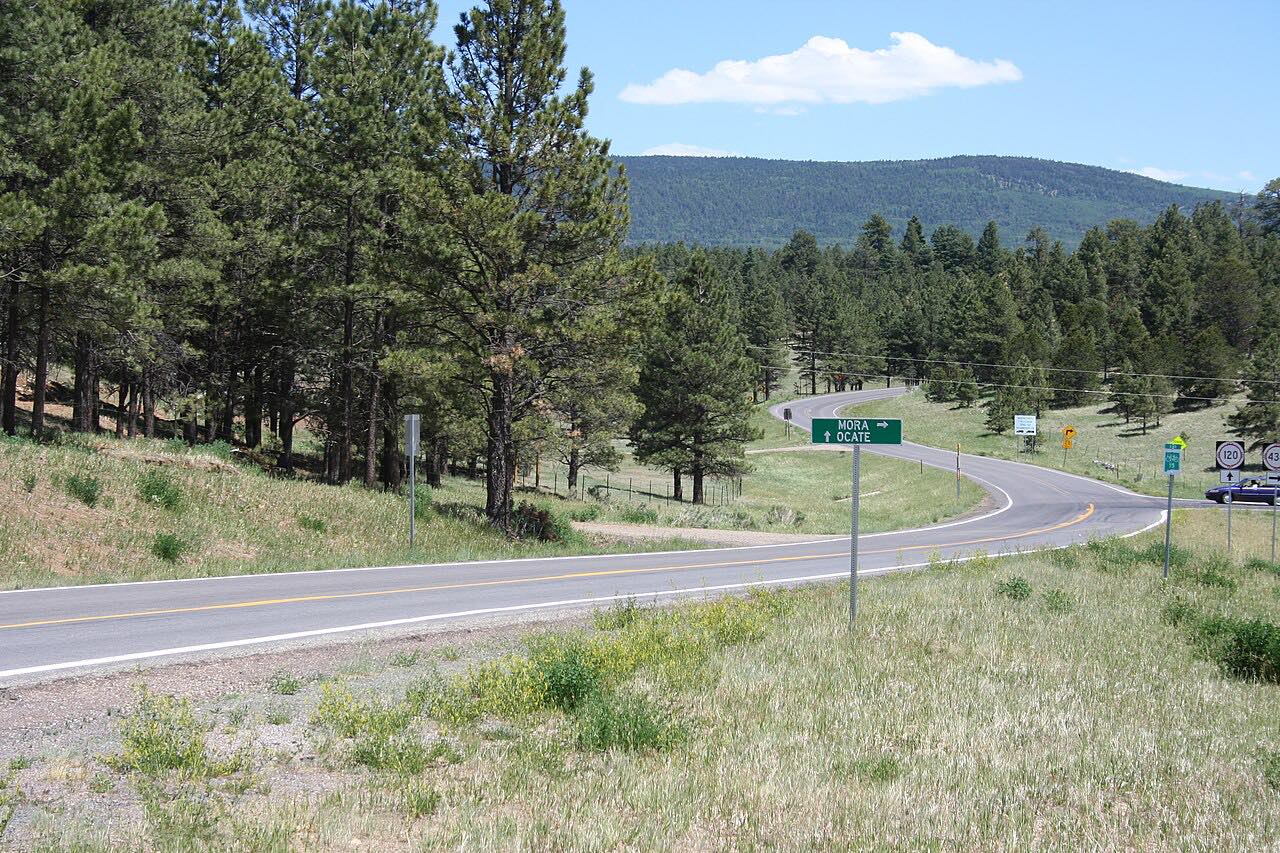
Drives New Mexico Santa Fe, Taos and Northern New Mexico
Highway 434: Angel Fire to Mora
NM 434 · Angel Fire → Mora

The drive
NM 434 connects Angel Fire, on US 64, with Mora, on NM 518. This drive runs it south, through Black Lake, where NM 120 meets the road, and on through Guadalupita to Mora.
Coyote Creek State Park sits on NM 434 just north of Guadalupita. The route's high point is about 8,800 feet, and its twistiest stretch comes around miles 13 to 16.
Along the way
- Angel Fire (US-64)
- Guadalupita
- Mora (NM-518)
Good to know
- Coyote Creek State Park is right on the road, just north of Guadalupita.
- Check NMRoads for work zones and closures before you go.
Open all year, weather permitting. Roads close for snow, fire, storms and repairs: before you set off, check NMRoads (NMDOT road conditions).
Questions about this drive
How long does Highway 434 from Angel Fire to Mora take?
NM 434 from Angel Fire to Mora is 34.8 miles and takes about 55 min.
Which towns does NM 434 pass through?
NM 434 runs between Angel Fire and Mora by way of Black Lake and Guadalupita. Coyote Creek State Park is on the road just north of Guadalupita.
Where does Highway 434: Angel Fire to Mora start and end?
This drive starts at Angel Fire (US-64) and ends at Mora (NM-518), 34.8 miles in all.
What you get in the app
Free on iPhone and Android. CarPlay and Android Auto come with Apex.
More drives near here


Distance, time, elevation, curves and intensity are from Carve's route. Checked 2026-10-28.