Drives Washington Seattle and Puget Sound
Snoqualmie Valley: Highway 203
WA 203, WA 202 · Monroe → Snoqualmie Falls

The drive
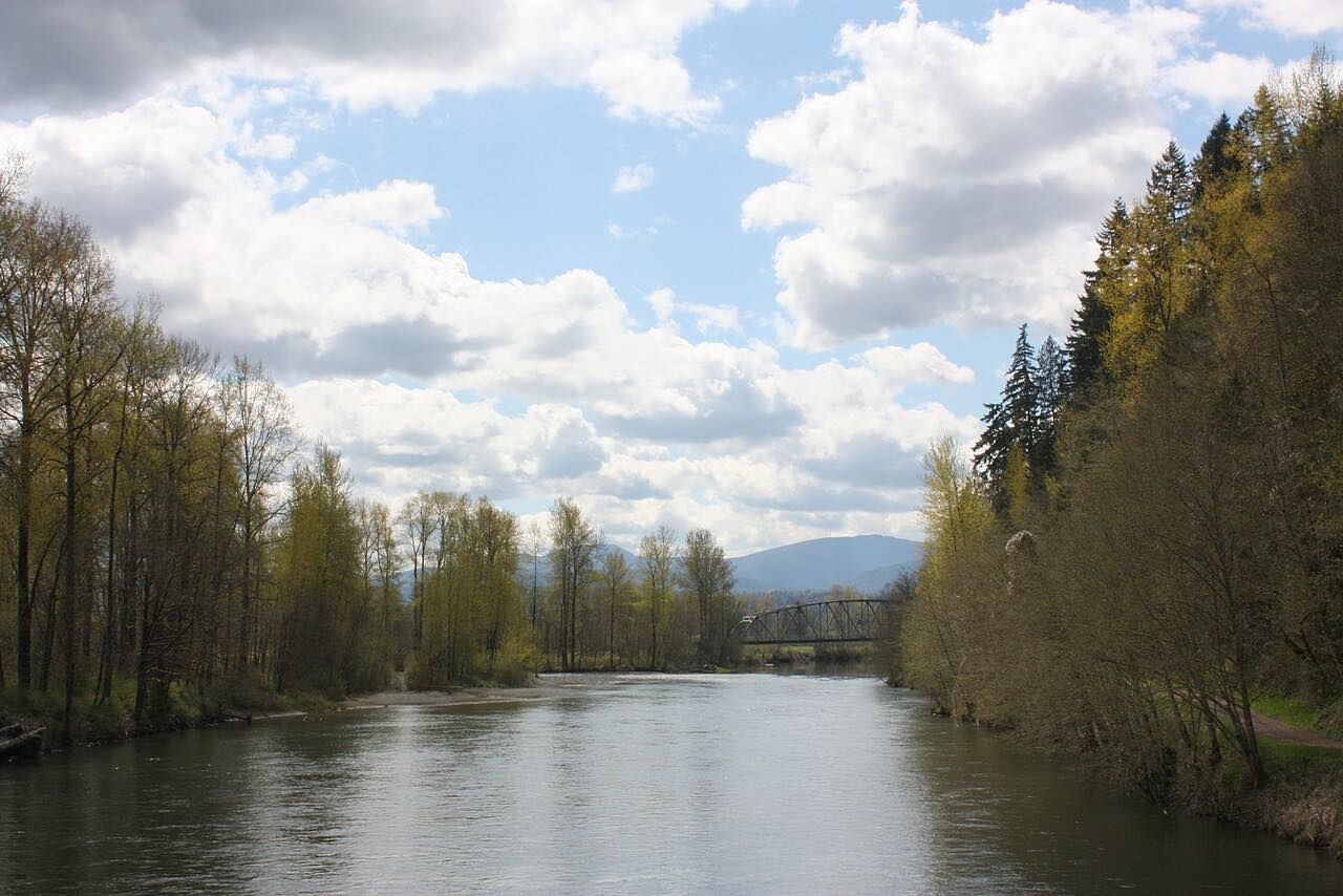
Highway 203 runs south through the Snoqualmie Valley from Monroe, passing Duvall, Carnation and Fall City, with farmland on the valley floor and the Cascade foothills on both sides. It is a slow, mostly straight road with few bends.
At Fall City the highway meets Highway 202 at a roundabout, and 202 climbs beside the river to Snoqualmie Falls, a waterfall of 268 feet. This drive ends there.
It is 28 miles and takes about 45 minutes. The valley farmland and the falls are the draw more than the curves.
Along the way
- Monroe (US 2 junction)
- Carnation
- Snoqualmie Falls
Good to know
- The valley floods in winter storms, and parts of Highway 203 can close for a day or two.
- Check conditions after heavy rain.
Open all year, weather permitting. Roads close for snow, fire, storms and repairs: before you set off, check WSDOT: travel alerts.
Questions about this drive
How long does the Snoqualmie Valley drive on Highway 203 take?
Monroe to Snoqualmie Falls on Highway 203 and 202 is 28 miles and takes about 45 minutes.
How tall is Snoqualmie Falls?
Snoqualmie Falls is 268 feet high. This drive ends beside it on Highway 202.
Does Highway 203 flood?
Yes. The Snoqualmie Valley floods in winter storms and parts of the road can close for a day or two.
What you get in the app
Free on iPhone and Android. CarPlay and Android Auto come with Apex.
More drives near here

Distance, time, elevation, curves and intensity are from Carve's route. Checked 2026-10-28.