Drives Washington Seattle and Puget Sound
Stevens Pass: US 2
US 2, Stevens Pass · Gold Bar → Leavenworth

The drive
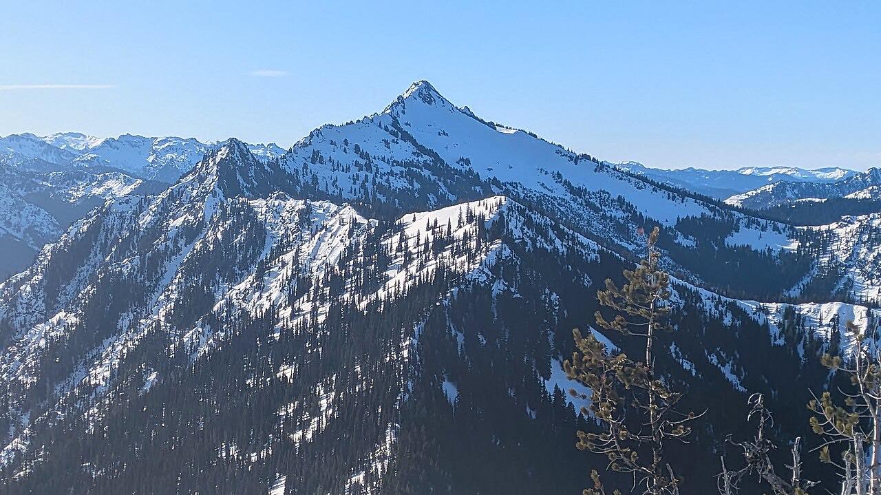
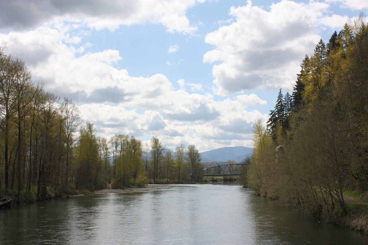
US 2 is the central route across the Cascades. This drive starts in Gold Bar and heads east up the Skykomish River below the peaks around Index, through Skykomish, and up to 4,061-foot Stevens Pass. On the east side it drops down Tumwater Canyon beside the Wenatchee River into Leavenworth.
The road is mostly gentle curves, with passing lanes on some of the climbs and two lanes elsewhere. Tumwater Canyon, a narrow gorge with the river beside the road, is the finale.
It is 71.3 miles and takes about 1 hour 20 minutes. The pass is open year round, but winter driving is demanding.
Along the way
- Gold Bar
- Stevens Pass
- Tumwater Canyon
- Leavenworth
Good to know
- Chains are often required in winter, and oversize vehicles can be barred; avalanche control and snow close the pass for hours at a time.
- Floods have closed parts of US 2, including Stevens Pass and Tumwater Canyon, and repair work can bring closures or single-lane travel, so check before you go.
Open all year, weather permitting. Roads close for snow, fire, storms and repairs: before you set off, check WSDOT: Stevens Pass (US 2) pass report.
Questions about this drive
How long does the Stevens Pass drive on US 2 take?
Gold Bar to Leavenworth on US 2 is 71.3 miles and takes about 1 hour 20 minutes without stops.
Is Stevens Pass open in winter?
Yes, US 2 over Stevens Pass is open all year, but it closes at times for snow and avalanche control, and chains are often required.
Was US 2 damaged by floods?
Yes. Floods have closed parts of US 2 before, including Stevens Pass and Tumwater Canyon, and repair work can follow. Check WSDOT before you go.
What you get in the app
Free on iPhone and Android. CarPlay and Android Auto come with Apex.
More drives near here


Distance, time, elevation, curves and intensity are from Carve's route. Checked 2026-10-28.