Drives Georgia North Georgia and the Upstate
Highway 190: Pine Mountain
GA 190, Pine Mountain Highway · Pine Mountain → Warm Springs

The drive
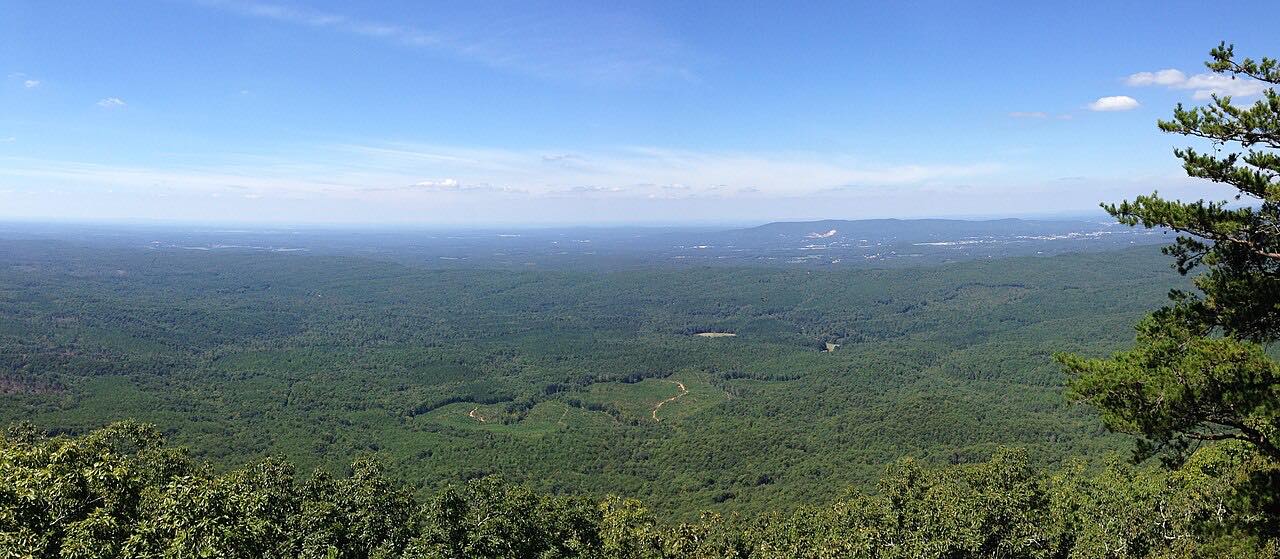
Georgia 190 follows the ridge of Pine Mountain in west Georgia, going east from Pine Mountain to Warm Springs. The road runs through hardwood forest past F.D. Roosevelt State Park, Georgia's largest state park. It has ridge and hollow curves, with some narrow spots.
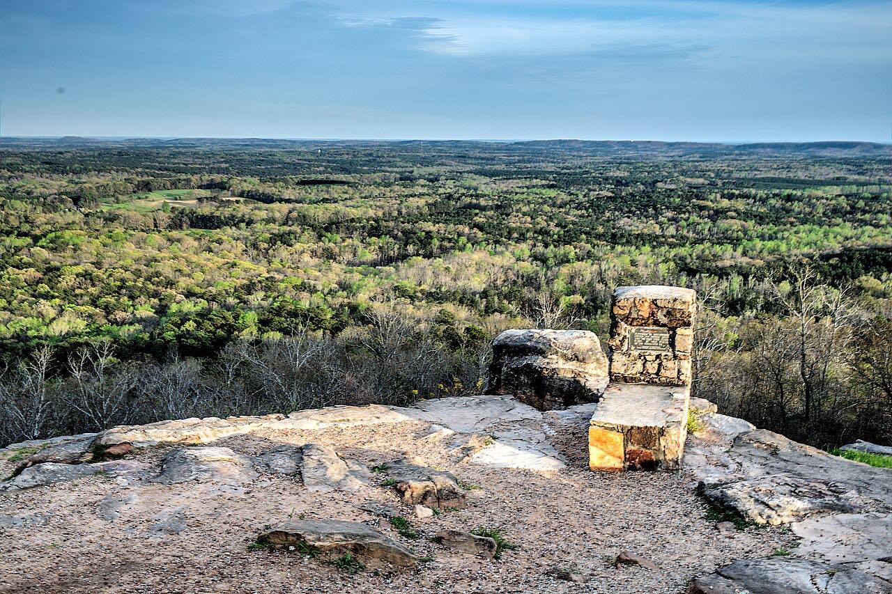
The Pine Mountain Trail, about 23 miles long, runs from Warm Springs to the junction of Highway 190 and US 27 in Pine Mountain. Dowdell's Knob in the park was a favorite overlook of Franklin Roosevelt. The drive ends in Warm Springs, home to the Little White House, where Roosevelt sought relief from polio.
The route is 11.3 miles, takes about 15 minutes and climbs 1,089 feet.
Along the way
- Pine Mountain
- Warm Springs
Good to know
- The road is narrow in spots, so watch for cyclists and deer.
- The Little White House is in Warm Springs at 401 Little White House Road.
Open all year, weather permitting. Roads close for snow, fire, storms and repairs: before you set off, check 511GA (Georgia DOT).
Questions about this drive
How long is Highway 190 over Pine Mountain?
Highway 190 from Pine Mountain to Warm Springs is 11.3 miles and takes about 15 minutes.
What state park is on Highway 190?
F.D. Roosevelt State Park, Georgia's largest state park, is along Pine Mountain.
What is in Warm Springs at the end of Highway 190?
Warm Springs is home to Franklin Roosevelt's Little White House.
What you get in the app
Free on iPhone and Android. CarPlay and Android Auto come with Apex.
More drives near here

Distance, time, elevation, curves and intensity are from Carve's route. Checked 2026-10-28.