
The drive
The Natchez Trace Parkway crosses the northwest corner of Alabama on a quiet, limited-speed road through hardwood forest. This drive starts at the Mississippi line and heads north. Along the way the Parkway crosses the Tennessee River on a bridge, and the Colbert Ferry area sits at milepost 327.3.
At Colbert Ferry, the National Park Service has a boat ramp area with parking, a restroom and a dock, with a view of the mile-long bridge. A stand site marks where George Colbert, by treaty, operated a ferry across the river from 1800 to 1819.
The route is 28.8 miles and takes about 32 minutes, with gentle rolling curves. It stops short of the Tennessee line, where the router leaves the Parkway.
Along the way
- Mississippi line
- Colbert Ferry
- Natchez Trace (north Alabama)
Good to know
- The speed limit is 50 mph unless posted otherwise, and commercial vehicles are prohibited.
- There is no entrance fee for the Parkway.
- The Parkway is a designated bicycle route, so watch for cyclists.
Open all year, weather permitting. Roads close for snow, fire, storms and repairs: before you set off, check Natchez Trace Parkway: current conditions.
Questions about this drive
How long is the Natchez Trace Parkway through Alabama?
This drive is 28.8 miles and takes about 32 minutes from the Mississippi line to the north end.
Is there a fee to drive the Natchez Trace Parkway in Alabama?
No. The National Park Service says there are no entrance fees to the Natchez Trace Parkway or its facilities.
What is at Colbert Ferry on the Natchez Trace Parkway?
Colbert Ferry, at milepost 327.3, has a boat ramp area with parking, a restroom and a dock, and the site of George Colbert's ferry stand.
What you get in the app
Free on iPhone and Android. CarPlay and Android Auto come with Apex.
More drives near here
 Natchez Trace Parkway: Tupelo to Alabama LineLeisurely · Natchez Trace, Mississippi · 44 mi
Highway 33: Bankhead National ForestLeisurely · AL 33, AL 195 · 25 mi
 Highway 227: Guntersville to ScottsboroLeisurely · AL 227, County Road 67 · 31 mi
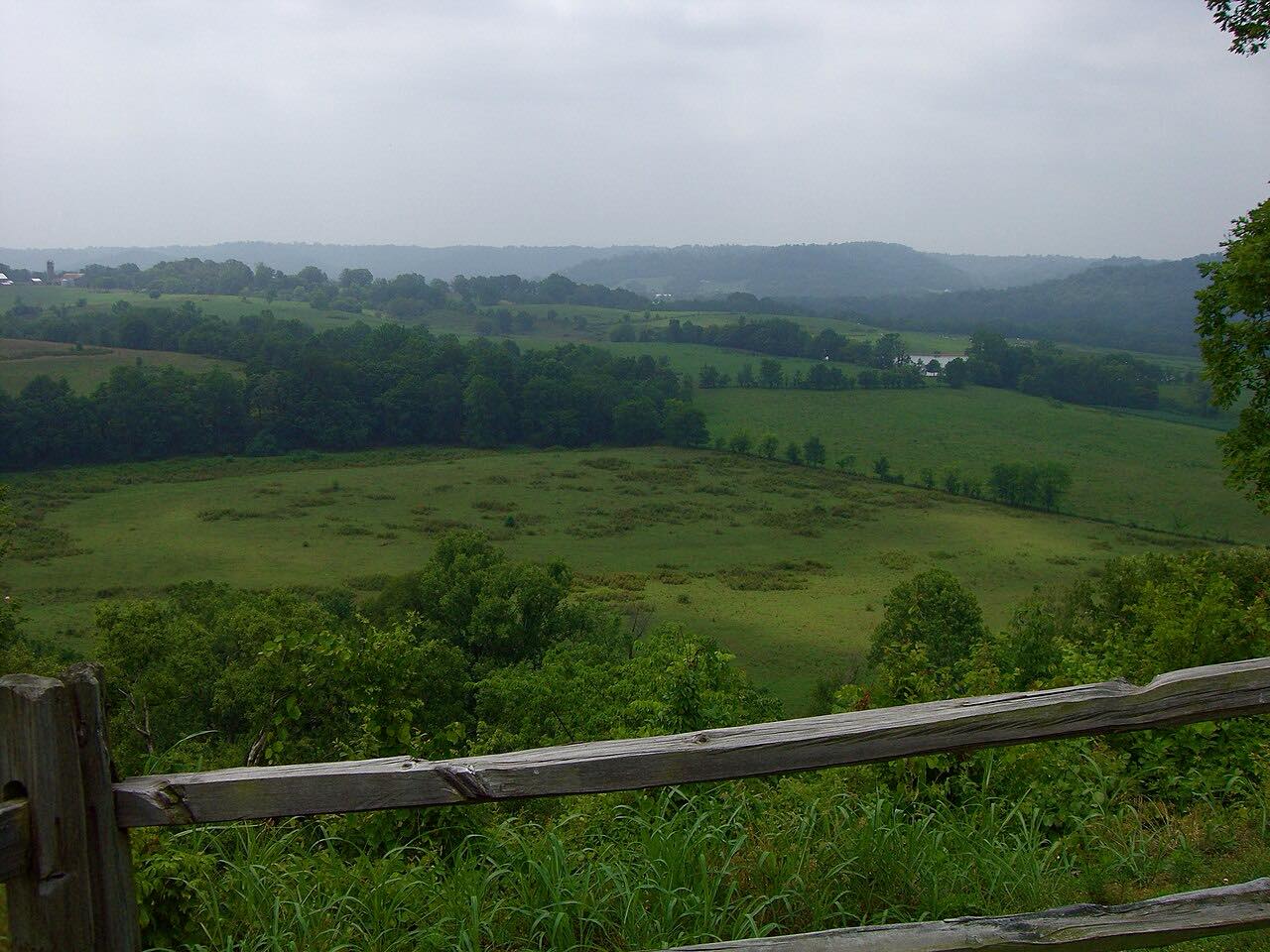 Natchez Trace Parkway: Franklin to HohenwaldLeisurely · Highland Rim, Tennessee · 50 mi
Distance, time, elevation, curves and intensity are from Carve's route. Checked 2026-10-28.