
Drives Utah Salt Lake and the Wasatch
Huntington Canyon: Highway 31
UT 31, Energy Loop · Huntington → Fairview

The drive
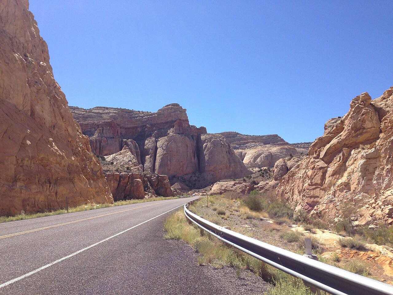
Highway 31 runs west from Huntington up Huntington Canyon beside the creek, through red and buff cliffs and into spruce forest. It passes Huntington Reservoir and Electric Lake and reaches about 9,800 feet on the Wasatch Plateau. Then it drops down Fairview Canyon to US 89 at Fairview. It is 46.9 miles and about 1 hr 10 min.
Highway 31 is part of the Energy Loop National Scenic Byway. The canyon comes first and the descent of Fairview Canyon ends the drive.
The road stays open in winter.
Along the way
- Huntington
- Huntington Reservoir
- Fairview (US-89)
Good to know
- The road is kept open in winter but has been closed for avalanche control and drifting snow.
- Few services lie on the high section, so fill up at either end.
Open all year, weather permitting. Roads close for snow, fire, storms and repairs: before you set off, check UDOT Traffic.
Questions about this drive
How long does Huntington Canyon take?
Highway 31 from Huntington to Fairview is 46.9 miles and takes about 1 hr 10 min.
Is Huntington Canyon open in winter?
Yes, though blowing snow and avalanche control have closed it for short periods.
How high does Highway 31 go?
The route reaches about 9,800 feet on the Wasatch Plateau.
What you get in the app
Free on iPhone and Android. CarPlay and Android Auto come with Apex.
More drives near here




Distance, time, elevation, curves and intensity are from Carve's route. Checked 2026-10-28.