
Drives Utah Moab and Utah's Canyon Country
Highway 95: Bicentennial Highway
UT 95, Trail of the Ancients · Hanksville → US-191 near Blanding

The drive
Highway 95 is the long way across the empty middle of southeastern Utah. It starts at Hanksville, drops down North Wash toward Lake Powell, crosses the Colorado River at Hite, and then climbs east past the Natural Bridges turnoff and over to US 191 near Blanding. It is 121.4 miles, about 2 hr 15 min, and the curves are mostly gentle.
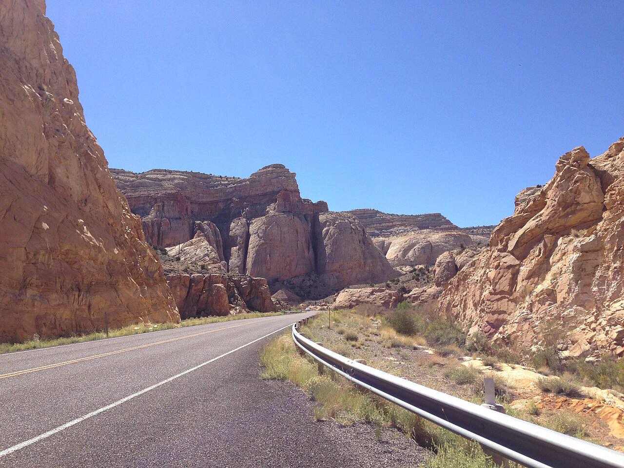
What defines this road is how little is on it. The Park Service says there is no fuel or water at Hite. Hanksville is 51 miles west of Hite and Blanding is 79 miles east, so the drive is mostly red-rock country and long views with nothing to buy.
It continues naturally from Highway 24 through Capitol Reef, which also ends at Hanksville.
Along the way
- Hanksville
- Hite Overlook
- Natural Bridges turnoff
- US-191 near Blanding
Good to know
- Start with a full tank and carry drinking water: the National Park Service lists no fuel or water at Hite, and the nearest sources are Hanksville and Blanding.
- The Hite developed area, a short way off the highway, has been closed; the Park Service says there is no fuel or water at Hite. The highway itself stays open.
- Vault toilets are open at the North Wash primitive ramp and the Dirty Devil primitive camping area, according to the Park Service.
Open all year, weather permitting. Roads close for snow, fire, storms and repairs: before you set off, check UDOT Traffic.
Questions about this drive
How long is Highway 95 from Hanksville to Blanding?
Highway 95 on this route is 121.4 miles and takes about 2 hr 15 min without stops.
Is there gas on Highway 95 between Hanksville and Blanding?
The National Park Service says Hite has no fuel or water, and the nearest sources are Hanksville to the west and Blanding to the east. Fill up before leaving.
Is Highway 95 twisty?
No. The Bicentennial Highway is mostly gentle curves, and the draw is the red-rock canyon country rather than the driving itself.
What you get in the app
Free on iPhone and Android. CarPlay and Android Auto come with Apex.
More drives near here


Distance, time, elevation, curves and intensity are from Carve's route. Checked 2026-10-28.