
Drives Utah Zion, Bryce and Southwest Utah
Burr Trail Road
Burr Trail · Boulder → End of the pavement

The drive
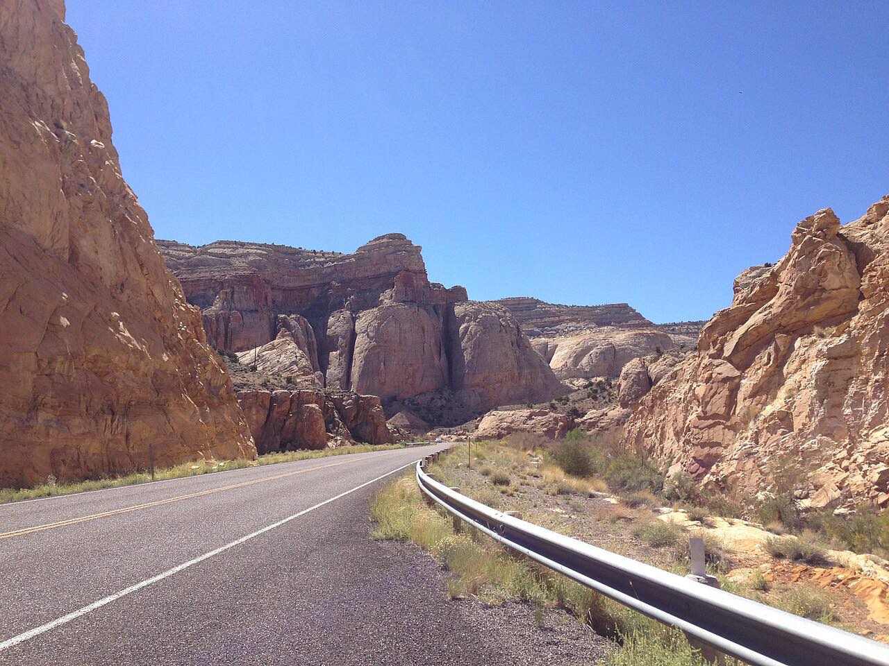
The paved Burr Trail runs east from Boulder through the deep red walls of Long Canyon. It then crosses the Circle Cliffs and ends where the pavement stops at the Capitol Reef boundary, above the Waterpocket Fold. It is 30.3 miles and about 1 hr 25 min, with one twisty stretch.
The drive turns around at the end of the pavement. There are no services on the road.
The gravel switchbacks inside the park are not part of this drive.
Along the way
- Boulder
- Long Canyon
- End of the pavement
Good to know
- There are no services, so bring fuel, water and food.
- Beyond the pavement, the unpaved Burr Trail in Capitol Reef is subject to weather and can be impassable, so check the park for its status.
- The switchbacks inside the park are not suitable for RVs or trailers.
Open all year, weather permitting. Roads close for snow, fire, storms and repairs: before you set off, check National Park Service: Capitol Reef road conditions.
Questions about this drive
How long is the paved Burr Trail?
From Boulder to the end of the pavement is 30.3 miles and takes about 1 hr 25 min.
Is the Burr Trail paved?
Yes from Boulder to the Capitol Reef boundary. Past that the road is graded dirt.
Is there gas on the Burr Trail?
No. There are no services, so fill up before leaving Boulder.
What you get in the app
Free on iPhone and Android. CarPlay and Android Auto come with Apex.
More drives near here



Distance, time, elevation, curves and intensity are from Carve's route. Checked 2026-10-28.