
Drives South Carolina North Georgia and the Upstate
Cherokee Foothills: SC 11
SC 11, US 276 · US 25 → SC 183

The drive
South Carolina Highway 11 is the Cherokee Foothills Scenic Highway, a byway of about 120 miles that links natural attractions and historic sites. This drive covers the part from US 25, north of Travelers Rest, west to SC 183 near Walhalla.
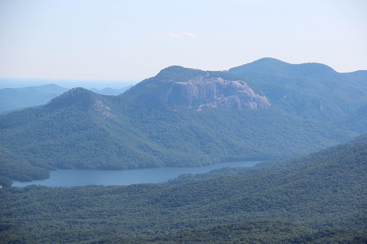
Along the way, SC 11 serves Table Rock State Park, and it crosses Lake Keowee as it enters Pickens County. Keowee-Toxaway State Park is on the highway too. Near Cleveland the road overlaps US 276 for about 5.75 miles, the same road the Caesars Head drive uses.
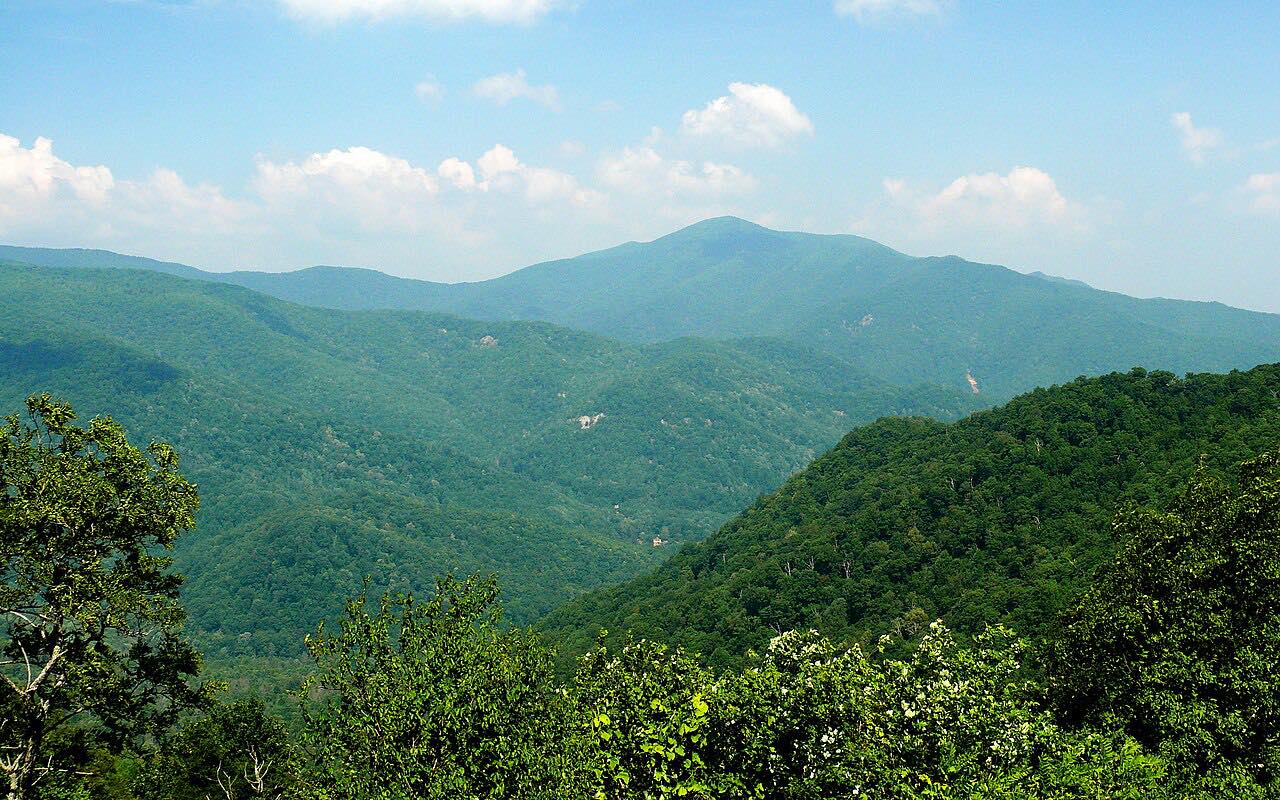
It's a drive for the mountain views to the north rather than for tight curves.
Along the way
- US 25 (north of Travelers Rest)
- Table Rock State Park
- Keowee-Toxaway State Park
- SC 183 (near Walhalla)
Good to know
- SC 11 shares pavement with US 276 for about 5.75 miles, so watch the signs at the junctions.
- Check SC 511 for road work before you go.
Open all year, weather permitting. Roads close for snow, fire, storms and repairs: before you set off, check SC 511.
Questions about this drive
How long is the Cherokee Foothills Scenic Highway drive on SC 11?
US 25 to SC 183 on SC 11 is 45.6 miles and takes about 55 min without stops. The full highway is about 120 miles.
What parks are on SC 11?
SC 11 serves Table Rock State Park and passes Keowee-Toxaway State Park, and it crosses Lake Keowee.
Does SC 11 share a road with US 276?
Yes. The two routes overlap for about 5.75 miles, from south of Caesars Head to Cleveland.
What you get in the app
Free on iPhone and Android. CarPlay and Android Auto come with Apex.
More drives near here


Distance, time, elevation, curves and intensity are from Carve's route. Checked 2026-10-28.