
Drives North Carolina Asheville and the Blue Ridge
Blue Ridge Parkway: Mount Mitchell
Blue Ridge Parkway, NC 128 · Asheville → Mount Mitchell summit

The drive
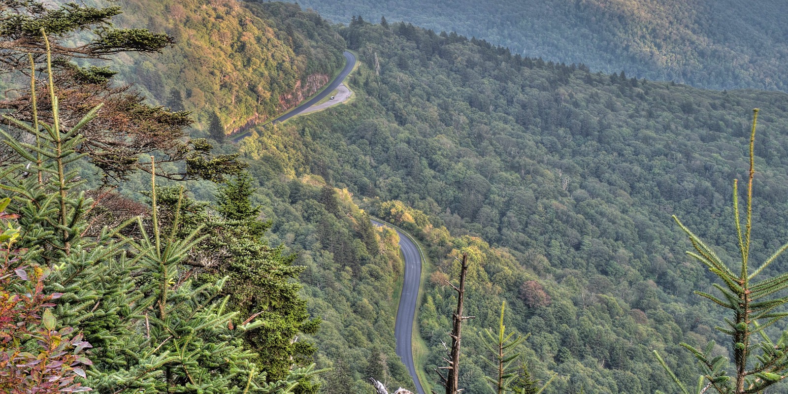
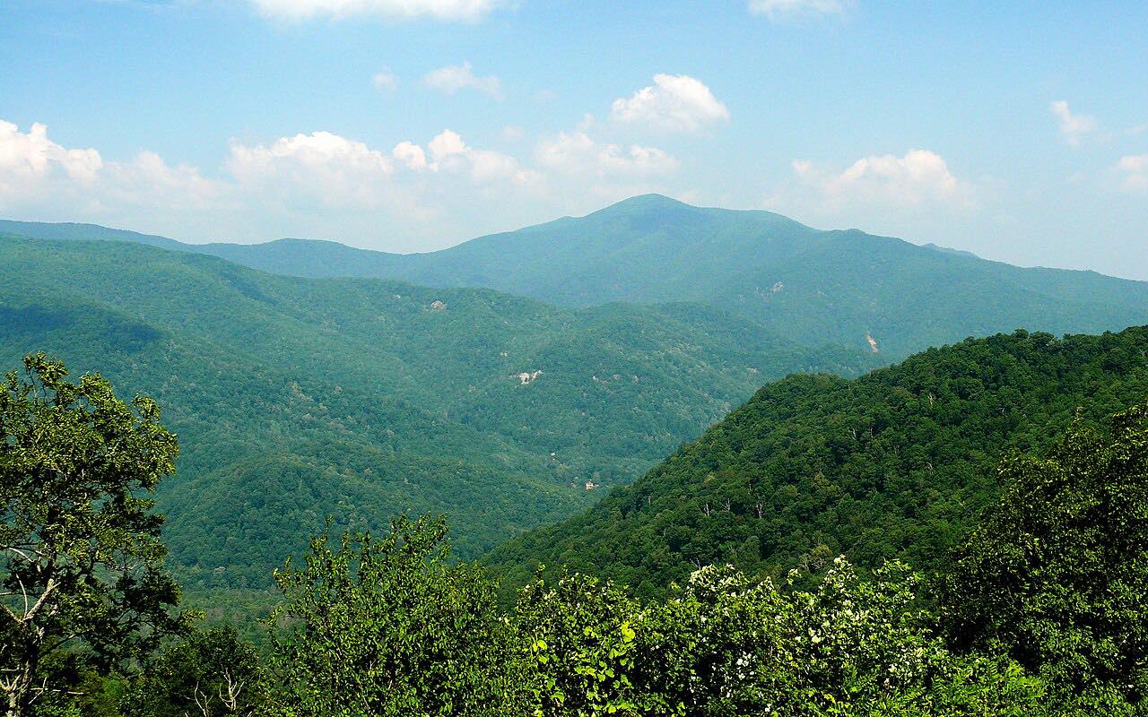
This drive takes the Blue Ridge Parkway north from US 70 at Asheville, past Craggy Gardens, then NC 128 to just below the summit of Mount Mitchell, 6,684 feet and the highest point east of the Mississippi River. It climbs about 6,300 feet in 31.4 miles, with three twisty stretches.
Craggy Gardens sits at mileposts 364 to 367, about 20 miles north of Asheville, with a visitor center, picnic area and trails; Catawba rhododendron bloom peaks there in June. From the Parkway the road turns onto NC 128 into Mount Mitchell State Park. The summit is often several degrees colder than Burnsville.
Along the way
- Asheville (US-70, MP 382)
- Craggy Gardens Visitor Center
- Mount Mitchell summit
Good to know
- The Parkway north of the Mount Mitchell entrance, milepost 344.2 to 355.3, is closed for Helene damage, so the park is reached only from the Asheville side and this is a there-and-back drive.
- There is no gas between Asheville and the park.
- Winter closures are frequent and can be prolonged, often due to ice.
- Day use at Mount Mitchell State Park is free, and the summit restaurant is closed for the year.
Open all year, weather permitting. Roads close for snow, fire, storms and repairs: before you set off, check National Park Service: Blue Ridge Parkway road closures.
Questions about this drive
How long does the drive to Mount Mitchell from Asheville take?
The Blue Ridge Parkway and NC 128 from Asheville to the Mount Mitchell summit area is 31.4 miles and takes about 1 hr.
Is the Blue Ridge Parkway open to Mount Mitchell?
The Parkway is open from Asheville through Craggy Gardens to the Mount Mitchell State Park entrance at milepost 355.3. The section north of the entrance is closed for Helene damage.
Is there a fee to visit Mount Mitchell State Park?
No. Day use is free; fees apply to camping, certain permits and facility reservations.
Is there gas on the way to Mount Mitchell?
No. There are no gas stations between Asheville and the park.
What you get in the app
Free on iPhone and Android. CarPlay and Android Auto come with Apex.
More drives near here


Distance, time, elevation, curves and intensity are from Carve's route. Checked 2026-10-28.