
Drives Alaska Juneau, Skagway and Southeast Alaska
Haines Highway
Haines Highway, AK 7 · Haines → 33 Mile Roadhouse


The drive
The Haines Highway runs north from Haines up the Chilkat River through the Alaska Chilkat Bald Eagle Preserve. The preserve covers 48,000 acres of river-bottom land along the Chilkat, Kleheni and Tsirku rivers and was created in 1982 to protect eagle habitat and salmon runs.
The largest gathering of bald eagles comes in late fall and early winter. Viewing pullouts line the highway between miles 8 and 31, and four main ones sit between miles 18 and 21 at the Council Grounds. The 19 Mile pullout has a boardwalk, latrine and accessible parking.
Along the way
- Haines
- Council Grounds
- 33 Mile Roadhouse
Good to know
- Stop only at the highway pullouts and stay within designated areas, so the eagles have room to roost and feed.
- Expect crowds at the pullouts in eagle season.
Open all year, weather permitting. Roads close for snow, fire, storms and repairs: before you set off, check Alaska 511 road conditions.
Questions about this drive
When is the best time to see eagles on the Haines Highway?
Late fall and early winter, according to Alaska State Parks. The largest gathering of bald eagles in the Chilkat preserve happens then.
Where do you stop for eagles on the Haines Highway?
Use the marked pullouts. The four main viewing pullouts are between miles 18 and 21 at the Council Grounds.
How long does the Haines Highway to 33 Mile Roadhouse take?
The Haines Highway from Haines to 33 Mile Roadhouse is 31 miles and takes about 1 hr 5 min.
What you get in the app
Free on iPhone and Android. CarPlay and Android Auto come with Apex.
More drives near here
 Klondike Highway: White PassLeisurely · Klondike Highway, AK 98 · 12.2 mi
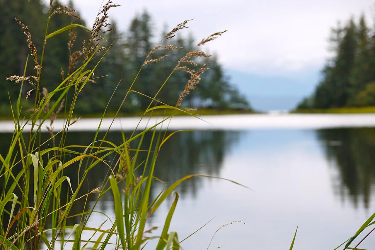 Glacier Highway: Auke Bay to Echo CoveLeisurely · Glacier Highway, AK 7 · 27 mi
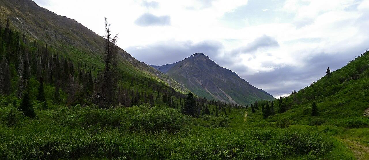 Haines Road: Haines Junction to Chilkat PassLeisurely · Haines Road, Highway 3 · 95 mi
 Alaska Highway: Kluane LakeLeisurely · Alaska Highway, Highway 1 · 72 mi
Distance, time, elevation, curves and intensity are from Carve's route. Checked 2026-10-28.