Drives Alaska Juneau, Skagway and Southeast Alaska
Glacier Highway: Auke Bay to Echo Cove
Glacier Highway, AK 7 · Auke Bay → Echo Cove turnoff


The drive
Juneau has no road connection to the rest of Alaska or the lower 48, and the Glacier Highway runs north out of Auke Bay to where Juneau's roads end. The drive follows Lynn Canal past Eagle Beach, ending at the Echo Cove turnoff.
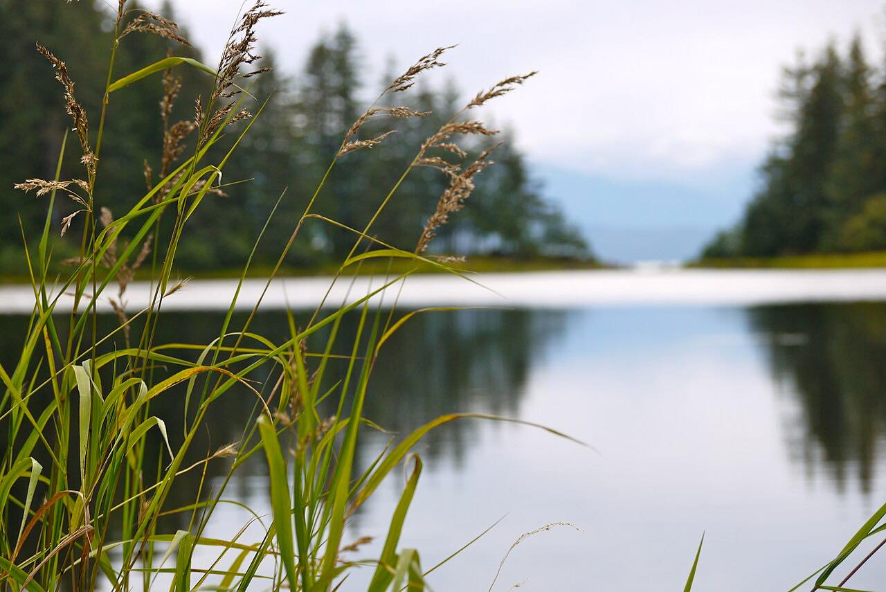
Eagle Beach State Recreation Area, about 27 miles north of Juneau, has views of Lynn Canal and the Chilkat and Juneau mountains, with the Eagle River flowing through it. Whales, sea lions and seals frequent the nearby water.
Along the way
- Auke Bay
- Eagle Beach
- Echo Cove turnoff
Good to know
- The Eagle Beach campground gate is closed from October 1 to May 1, so access is on foot in those months.
- RVs at Eagle Beach are limited to 35 feet.
- Check Alaska 511 for road conditions.
Open all year, weather permitting. Roads close for snow, fire, storms and repairs: before you set off, check Alaska 511 road conditions.
Questions about this drive
How long does the Glacier Highway from Auke Bay to Echo Cove take?
The Glacier Highway from Auke Bay to the Echo Cove turnoff is 26.6 miles and takes about 45 minutes.
Is Juneau connected to the rest of Alaska by road?
No. Juneau has no road connection to the rest of Alaska or the contiguous U.S., so the Glacier Highway only runs within the Juneau area.
What you get in the app
Free on iPhone and Android. CarPlay and Android Auto come with Apex.
More drives near here
 Haines HighwayLeisurely · Haines Highway, AK 7 · 31 mi
 Klondike Highway: White PassLeisurely · Klondike Highway, AK 98 · 12.2 mi
 Sitka: Halibut Point to Blue LakeTwisty · Halibut Point Road, Sawmill Creek Road · 9.7 mi
 Haines Road: Haines Junction to Chilkat PassLeisurely · Haines Road, Highway 3 · 95 mi
Distance, time, elevation, curves and intensity are from Carve's route. Checked 2026-10-28.