
Drives Alberta Banff, Jasper and the Canadian Rockies
Icefields Parkway
Banff and Jasper, Alberta · Lake Louise → Jasper

The drive
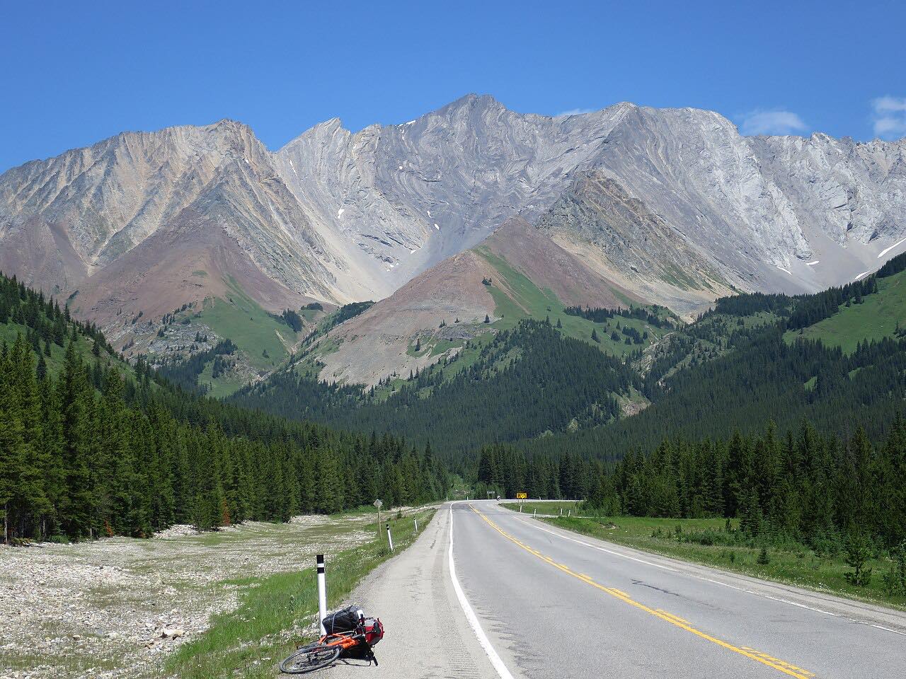
The Icefields Parkway, Highway 93, runs about 230 km between Lake Louise and Jasper through Banff and Jasper national parks. This drive goes north, 139.9 miles in about 2 hours 50 minutes without stops, leisurely with mostly gentle curves and about 6,500 feet of climb. It passes Bow Lake, Saskatchewan Crossing, the Columbia Icefield and the Athabasca valley.
Parks Canada says a valid national parks pass is required to drive the parkway. Cell service is available at each end of the parkway but not en route, and there is a 20 km stretch through caribou habitat where you should drive within the speed limit.
Along the way
- Lake Louise (Trans-Canada Highway)
- Bow Lake
- Saskatchewan Crossing
- Columbia Icefield
- Athabasca valley
- Jasper (Highway 93A)
Good to know
- Snow tires or chains are required from November 1 to March 31, or whenever snow or ice covers the road.
- There are no services along the parkway in winter, so fill your tank first.
- The parkway is not salted, and snow clearing runs from 7 a.m. to 3:30 p.m.
- Keep at least 30 meters from wildlife.
Open all year, weather permitting. Roads close for snow, fire, storms and repairs: before you set off, check Parks Canada: Banff bulletins.
Questions about this drive
How long does the Icefields Parkway take to drive?
Lake Louise to Jasper is 139.9 miles and takes about 2 hours 50 minutes without stops.
Do you need winter tires on the Icefields Parkway?
Snow tires or chains are required from November 1 to March 31, or whenever snow or ice covers the road.
Is there fuel on the Icefields Parkway?
Parks Canada says there are no services along the parkway in winter, so fill up before you go.
Do you need a park pass for the Icefields Parkway?
Yes: Parks Canada says a valid national parks pass is required.
What you get in the app
Free on iPhone and Android. CarPlay and Android Auto come with Apex.
More drives near here




Distance, time, elevation, curves and intensity are from Carve's route. Checked 2026-10-28.