
Drives British Columbia The Okanagan, the Kootenays and the BC Interior
Highway 93: Kootenay National Park
Kootenay National Park, British Columbia and Alberta · Radium Hot Springs → Castle Junction

The drive
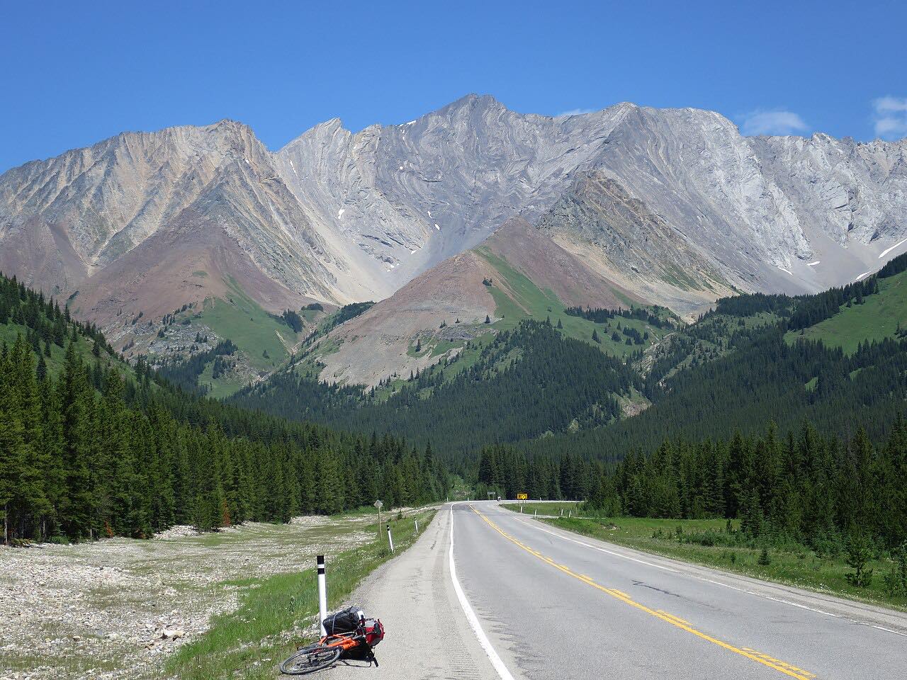
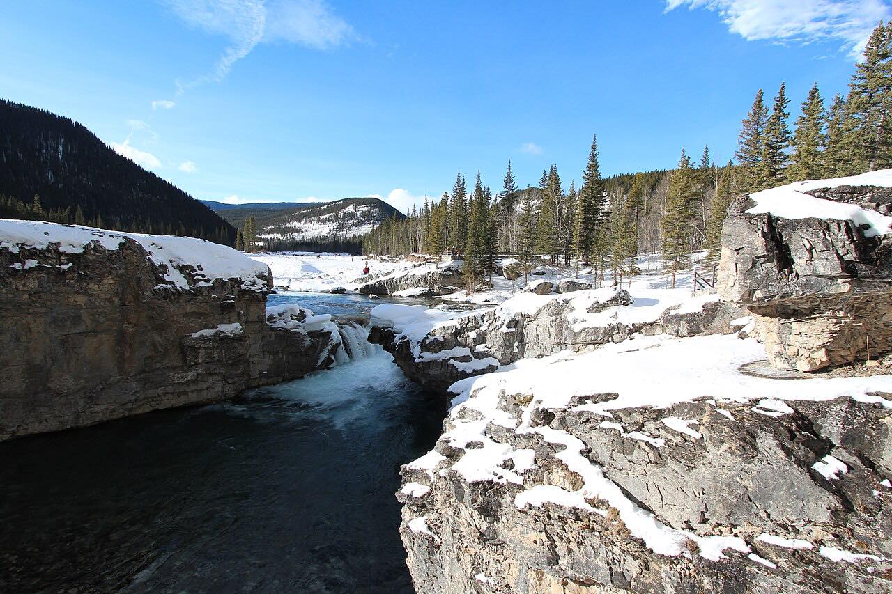
Highway 93 runs north from Radium Hot Springs through Kootenay National Park to Castle Junction in Alberta. It starts in the red rock walls of Sinclair Canyon, goes over Sinclair Pass at 1,486 meters, then follows the Kootenay and Vermilion valleys past Numa Falls.
It ends by crossing the Continental Divide at Vermilion Pass, 1,640 meters, and entering Alberta before the Trans-Canada interchange at Castle Junction. The curves are gentle.
Along the way
- Radium Hot Springs
- Sinclair Canyon
- Numa Falls
- Castle Junction
Good to know
- A Parks Canada pass is needed to stop anywhere in Kootenay National Park; driving straight through does not require one.
- Roadwork with single-lane alternating traffic has been posted near Radium; check DriveBC.
- Check DriveBC for current conditions.
Open all year, weather permitting. Roads close for snow, fire, storms and repairs: before you set off, check DriveBC.
Questions about this drive
Do you need a park pass to drive Highway 93 through Kootenay National Park?
You need a Parks Canada pass to stop in the park, but not if you drive through without stopping.
How long does Highway 93 through Kootenay National Park take?
Highway 93 from Radium Hot Springs to Castle Junction is 64 miles and takes about 1 hr 25 min.
How high is Vermilion Pass?
Vermilion Pass on Highway 93 is 1,640 meters and sits on the Continental Divide.
What you get in the app
Free on iPhone and Android. CarPlay and Android Auto come with Apex.
More drives near here



Distance, time, elevation, curves and intensity are from Carve's route. Checked 2026-10-28.