
Drives California The North Bay
Highway 116: Pocket Canyon to Jenner
CA 116, River Road, Pocket Canyon Highway · Pocket Canyon → Jenner

The drive
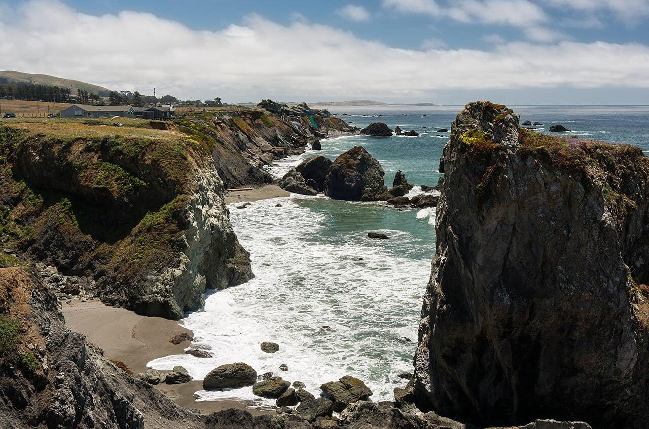
Highway 116 follows the Russian River from Pocket Canyon down to the coast. This drive starts in Pocket Canyon and heads west through Guerneville and Monte Rio, past Duncans Mills, and ends at Jenner where the river meets the Pacific. It is 17.9 miles and takes about 43 minutes.
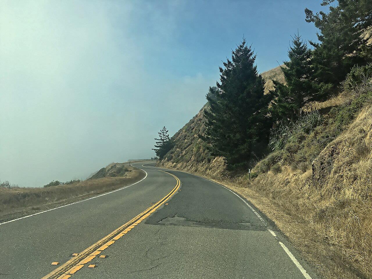
Locals call the Guerneville to Jenner stretch River Road. It's a two-lane road that follows the river's many bends, with redwoods close along the roadside and Armstrong Redwoods just north of Guerneville. Caltrans signs it as a scenic route between Jenner and Guerneville.
The last stretch shares the road with Highway 1, and the drive ends at Jenner before the Highway 1 coast drive begins.
Along the way
- Pocket Canyon (Highway 116)
- Jenner
Good to know
- Summer weekends are busy, especially around Guerneville and the river beaches.
- The road is two lanes with moderate curves and few places to pass.
- Slides and repair work have caused one-way traffic control on parts of the road, so check Caltrans for current delays.
- The Bohemian Highway branches south from Monte Rio toward Occidental if you want a side trip.
Open all year, weather permitting. Roads close for snow, fire, storms and repairs: before you set off, check Caltrans: State Route 116 road conditions.
Questions about this drive
How long does Highway 116 from Pocket Canyon to Jenner take?
Highway 116 from Pocket Canyon to Jenner is 17.9 miles and takes about 43 minutes.
Is Highway 116 along the Russian River twisty?
It has moderate curves that follow the river's bends, with little climb. It is a scenic two-lane more than a technical road.
What towns are on Highway 116 between Guerneville and Jenner?
Highway 116 passes Guerneville, Monte Rio and Duncans Mills before ending at Jenner on the coast.
When is Highway 116 busiest?
Summer weekends are busiest, with traffic around Guerneville and the river.
What you get in the app
Free on iPhone and Android. CarPlay and Android Auto come with Apex.
More drives near here


Distance, time, elevation, curves and intensity are from Carve's route. Checked 2026-10-28.