
Drives California The North Bay
Skaggs Springs Road
Northern Sonoma County, California · Lake Sonoma → Stewarts Point

The drive
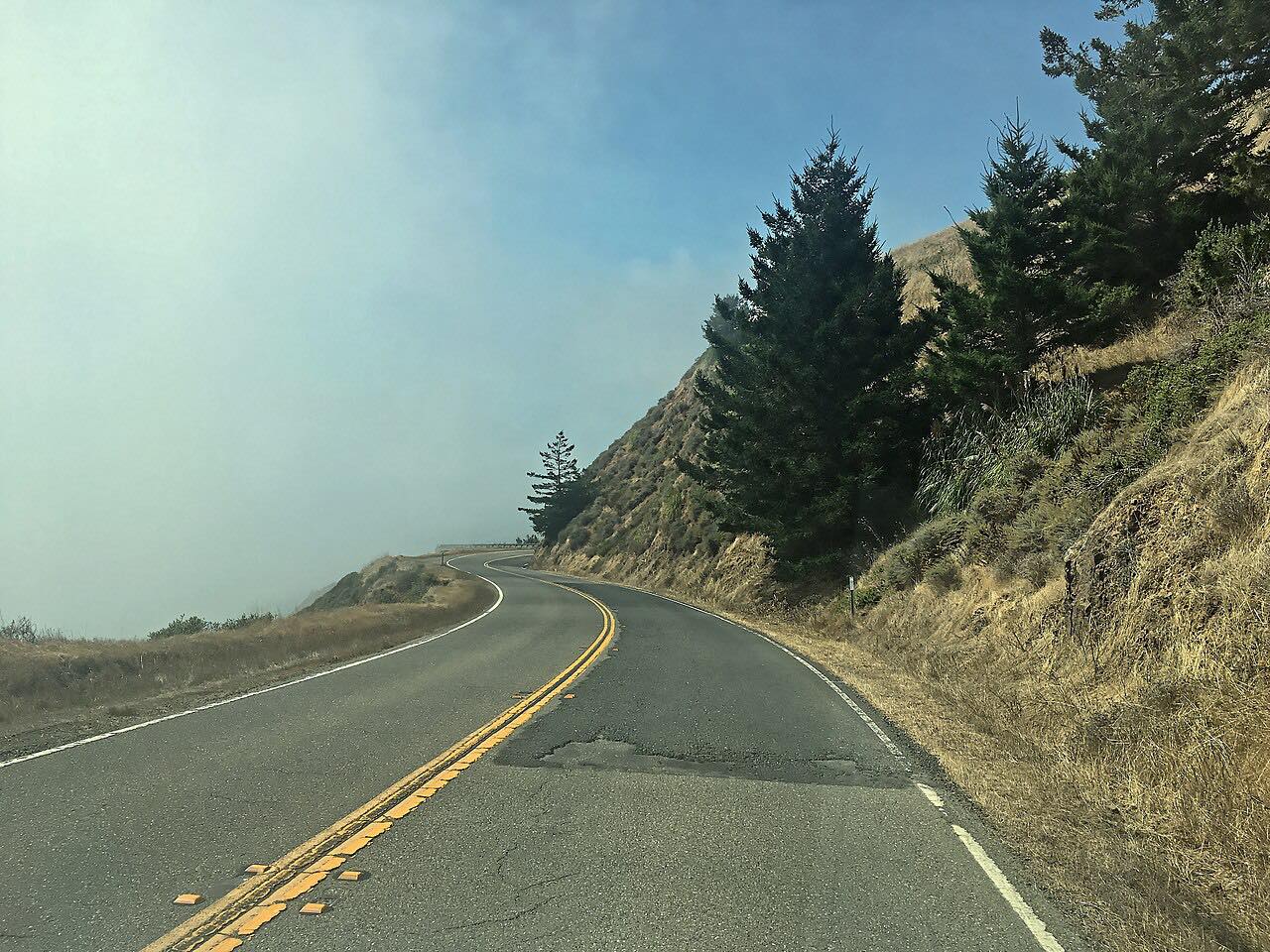
Stewarts Point-Skaggs Springs Road is the long way from Dry Creek Valley to the Sonoma Coast. It starts at Lake Sonoma, the Army Corps of Engineers reservoir behind Warm Springs Dam, by the Milt Brandt Visitor Center, and climbs the grade above the reservoir. The old Skaggs Springs hot springs resort the road is named for now lies under the lake.
West of the lake the road crosses ridge after ridge of the coastal mountains, with a long run of curves most of the way, then drops through forest and redwoods to Highway 1 at Stewarts Point. From there Highway 1 runs south along the Sonoma Coast toward Jenner, or north toward Gualala.
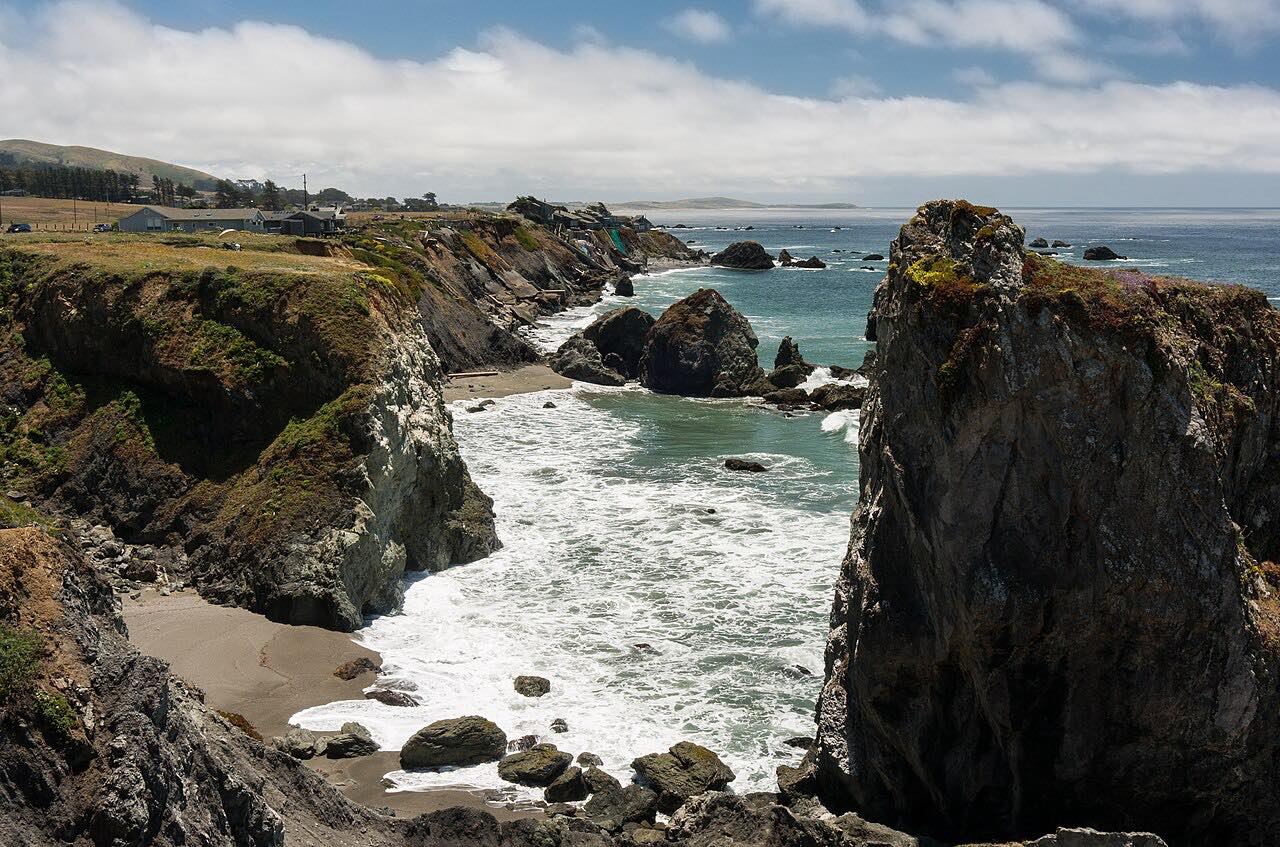
It's driven westbound, the way most drivers come from Healdsburg and Geyserville, so it finishes with the ocean.
Along the way
- Lake Sonoma (Dry Creek Road)
- Stewarts Point (Highway 1)
Good to know
- The road is popular with fast motorcyclists, and the CHP has run extra patrols on it for speeding and crossing the double yellow line.
- It's a long mountain road between Lake Sonoma and the coast: fill up in Healdsburg or Geyserville before you set off.
- The Lake Sonoma visitor center at the start is open 9 a.m. to 4 p.m. daily, staffed mostly by volunteers.
Open all year, weather permitting. Roads close for snow, fire, storms and repairs: before you set off, check Sonoma County road conditions.
Questions about this drive
How long does Skaggs Springs Road take from Lake Sonoma to the coast?
Skaggs Springs Road from Lake Sonoma to Highway 1 at Stewarts Point is 35.5 miles and takes about 1 hour 35 minutes without stops.
How twisty is Skaggs Springs Road?
Skaggs Springs Road is twisty most of the way: it climbs about 6,000 feet in total over the coastal ridges between Lake Sonoma and the ocean.
Where does Skaggs Springs Road start and end?
Skaggs Springs Road runs from Lake Sonoma, at the end of Dry Creek Road northwest of Healdsburg, to Highway 1 at Stewarts Point on the Sonoma Coast.
What you get in the app
Free on iPhone and Android. CarPlay and Android Auto come with Apex.
More drives near here



Distance, time, elevation, curves and intensity are from Carve's route. Checked 2026-10-28.