
Drives Nevada Las Vegas and Southern Nevada
Nelson Road: Eldorado Canyon
Nelson Road · Highway 165 → Nelson

The drive
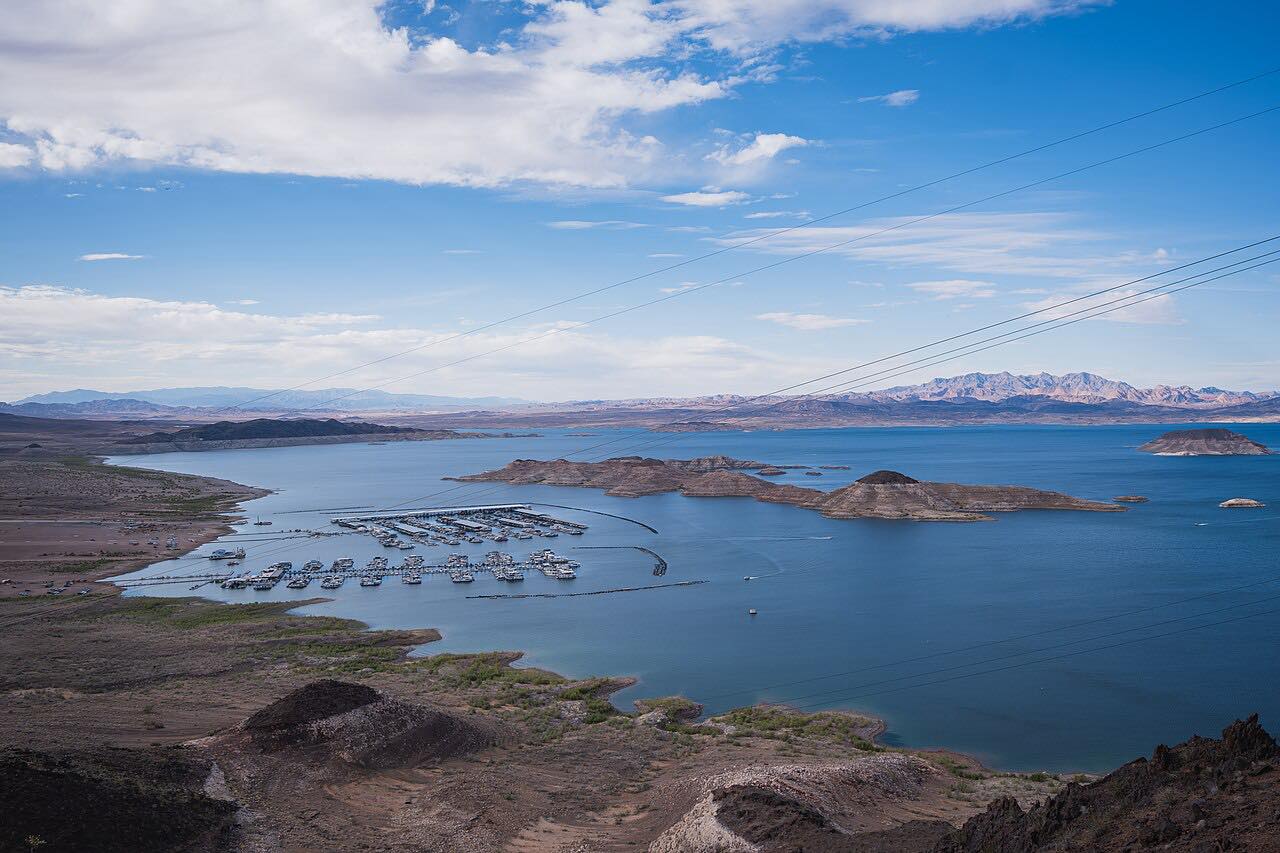
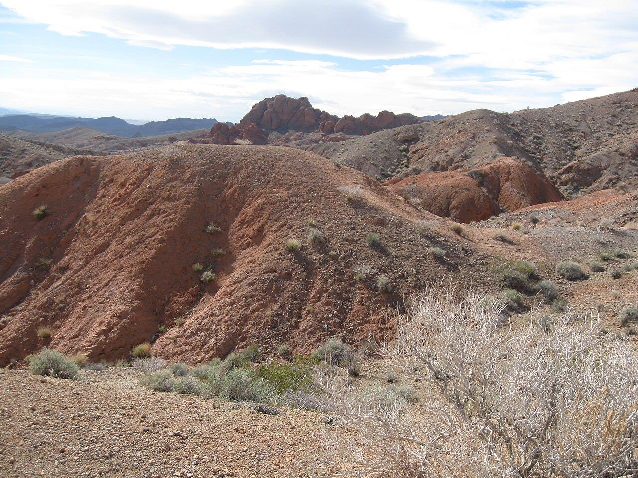
Highway 165 and Nelson Road run southeast from US 95 near Boulder City down into Eldorado Canyon, ending at the old mining camp of Nelson. It is about 17 miles of long descents through desert hills in the Eldorado Mountains, toward Lake Mohave.
Nelson sits in the canyon about 25 miles southeast of Las Vegas. Mines in the canyon operated from about 1858 to 1945 and produced several million dollars in gold, silver, copper and lead. The Techatticup Mine is in the middle of the canyon, and a river and mining tour business runs from a former Texaco gas station near it.
The road continues about five miles past Nelson to a dead end at Nelson's Landing on the river, where a flash flood in 1974 destroyed the landing and village. This drive stops at Nelson.
Along the way
- Highway 165 (US-95)
- Nelson Road at Highway 165
- Nelson (Eldorado Canyon)
Good to know
- Watch for flash flood conditions, and be cautious around open mines and ventilation shafts.
- The road past Nelson to Nelson's Landing is not part of this drive.
Open all year, weather permitting. Roads close for snow, fire, storms and repairs: before you set off, check Nevada 511 (NDOT).
Questions about this drive
How long does Nelson Road to Eldorado Canyon take?
Highway 165 and Nelson Road from US 95 to Nelson are 17.4 miles and take about 40 minutes.
What is there to see in Nelson, Nevada?
Nelson is an old mining camp in Eldorado Canyon. The Techatticup Mine is in the middle of the canyon, and mining tours run from the town.
Is Nelson Road twisty?
No. Nelson Road is a leisurely drive with mostly gentle curves and long descents.
Is there a flood risk on Nelson Road?
Yes. Eldorado Canyon is prone to flash floods, and the flood of 1974 destroyed Nelson's Landing, so avoid the canyon in stormy weather.
What you get in the app
Free on iPhone and Android. CarPlay and Android Auto come with Apex.
More drives near here


Distance, time, elevation, curves and intensity are from Carve's route. Checked 2026-10-28.