Drives Arizona The Mogollon Rim and White Mountains
Coronado Trail: US-191
White Mountains, Arizona · Clifton → Alpine

The drive
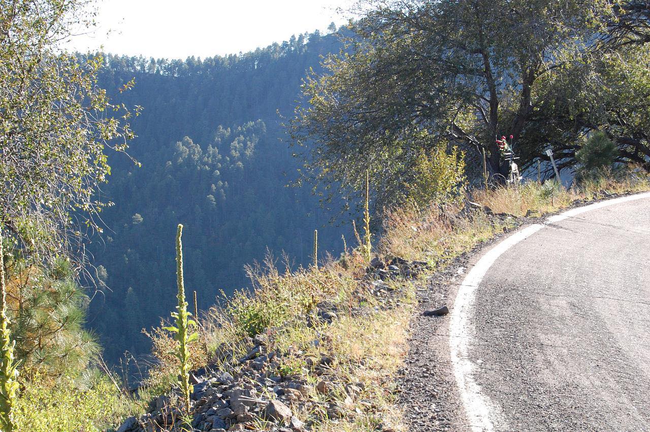
The Coronado Trail is US 191 between Clifton and Alpine, and it's one of the most winding roads in Arizona. It starts in Clifton, runs around the edge of the Morenci open-pit copper mine, the largest in the state, and then climbs the Mogollon Rim in hundreds of tight bends. Arizona doesn't sign each curve here; it posts a 15 mph curve warning for about six miles, and many bends are slow.
The climb is about 6,000 feet, through oak, pine and then aspen and spruce. Hannagan Meadow has a lodge dating to 1926, the only business along the road. The drive tops out near 9,400 feet and finishes in Alpine, in the White Mountains. Plan on close to three hours without stops.
Along the way
- Clifton
- Hannagan Meadow
- Alpine
Good to know
- There are no services from the Morenci area until Alpine, about 90 miles, apart from the lodge at Hannagan Meadow, so start with a full tank.
- Trucks over 40 feet are not allowed on the stretch north of Morenci because of the sharp curves.
- Some stretches have no guardrails and the road is narrow, so expect to share it with slow vehicles.
- Snow can close the road near Hannagan Meadow in winter.
Open all year, weather permitting. Roads close for snow, fire, storms and repairs: before you set off, check Arizona 511 (ADOT).
Questions about this drive
How long does the Coronado Trail take to drive?
The Coronado Trail from Clifton to Alpine is 93.8 miles and takes about 2 hr 45 min before stops. Allow three hours or more.
How twisty is the Coronado Trail?
Very. US 191 has three twisty stretches, and Arizona posts a 15 mph curve warning for roughly six miles of it.
Can RVs and trucks drive the Coronado Trail?
Trucks over 40 feet are prohibited north of Morenci because of the sharp curves. Shorter RVs can drive it, but slowly.
Is there gas on the Coronado Trail?
Not along the way. There are no services between the Morenci area and Alpine, so fuel up in Clifton or Morenci.
What you get in the app
Free on iPhone and Android. CarPlay and Android Auto come with Apex.
More drives near here


Distance, time, elevation, curves and intensity are from Carve's route. Checked 2026-10-28.