Drives Yukon The Yukon and the Northwest Territories
Haines Road: Haines Junction to Chilkat Pass
Haines Road, Highway 3, BC 4 · Haines Junction → Chilkat Pass

The drive
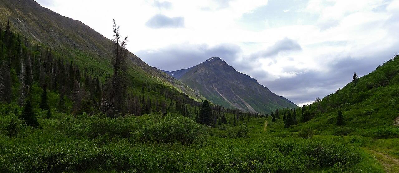
The Haines Road runs 95.1 miles from Haines Junction south through Kluane National Park to Chilkat Pass. The drive takes about 1 hr 46 min, climbing 5,512 feet to a high point of 3,481 feet. It passes Kathleen Lake and crosses alpine tundra with glaciers and little traffic.
Kathleen Lake, about 25 km south of Haines Junction, has the only campground inside Kluane National Park and Reserve. There are no services along the highway beyond Haines Junction.
The route ends at Chilkat Pass, before the US border. The Alaska section is a separate drive.
Along the way
- Haines Junction (Haines Road)
- Kathleen Lake
- Chilkat Pass
Good to know
- No fuel or services beyond Haines Junction on this stretch.
- Snow is possible at the pass for much of the year.
- The border crossing lies further south than this route ends.
Open all year, weather permitting. Roads close for snow, fire, storms and repairs: before you set off, check Yukon 511.
Questions about this drive
How long does the Haines Road take from Haines Junction to Chilkat Pass?
It is 95.1 miles and takes about 1 hr 46 min.
Are there gas stations on the Haines Road?
No. Services are not offered along this stretch, so leave Haines Junction with enough fuel.
Where can you camp on the Haines Road?
Kathleen Lake Campground in Kluane National Park, about 25 km south of Haines Junction.
What you get in the app
Free on iPhone and Android. CarPlay and Android Auto come with Apex.
More drives near here


Distance, time, elevation, curves and intensity are from Carve's route. Checked 2026-10-28.