
Drives Virginia Shenandoah and the Virginia Blue Ridge
Goshen Pass: Highway 39
Maury River Road, Mountain Valley Road, VA 39 · Rockbridge Baths → Warm Springs


The drive
Virginia State Route 39 goes through Goshen Pass, a gorge the Maury River carved through Great North Mountain. This drive starts at Rockbridge Baths and runs west 30.2 miles in about 45 minutes, with mostly gentle curves.
It passes through the town of Goshen and the pass, then continues past Millboro Springs, where it runs together with Route 42, to the village of Warm Springs. The route follows the Cowpasture River beyond Millboro Springs.
Along the way
- Rockbridge Baths
- Goshen Pass
- Goshen
- Millboro Springs
- Warm Springs
Good to know
- The main route has a low-clearance bridge in Goshen; SR 39 Alternate, a 0.35-mile route on Main Street, serves as the truck route and bypass.
- Check 511 Virginia for current conditions.
Open all year, weather permitting. Roads close for snow, fire, storms and repairs: before you set off, check 511 Virginia: road conditions.
Questions about this drive
How long does the Goshen Pass drive take?
Virginia Route 39 from Rockbridge Baths to Warm Springs is 30.2 miles and takes about 45 minutes.
What is Goshen Pass?
Goshen Pass is a gorge carved by the Maury River through Great North Mountain, and Route 39 runs through it.
Can trucks use Route 39 through Goshen?
The main route has a low-clearance bridge in Goshen. SR 39 Alternate on Main Street is the truck route and bypass.
What you get in the app
Free on iPhone and Android. CarPlay and Android Auto come with Apex.
More drives near here
 Highway 130: Natural Bridge to Big IslandSweeping · VA 130, US 501 · 14.5 mi
 Highway 39: Warm Springs to MarlintonSweeping · Mountain Valley Road, Huntersville Road · 28 mi
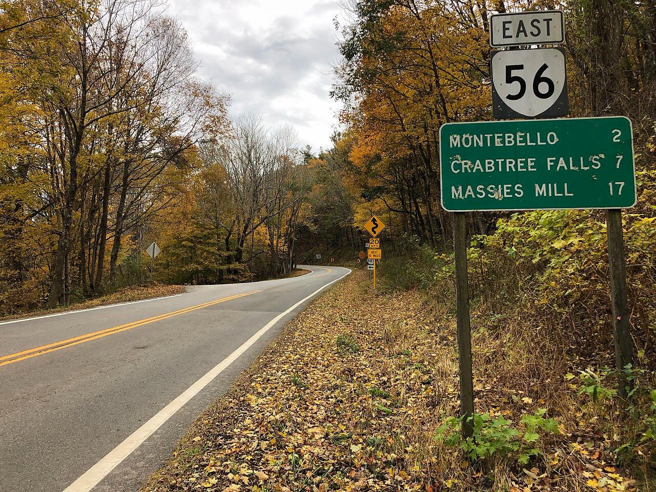 Crabtree Falls Highway: Highway 56Twisty · Crabtree Falls Highway, Tye River Turnpike · 21 mi
 Highway 250: Churchville to BartowSweeping · Hankey Mountain Highway, Highland Turnpike · 59 mi
Distance, time, elevation, curves and intensity are from Carve's route. Checked 2026-10-28.