Drives California The Central Coast
Jalama Road
Santa Ynez Mountains, California · Highway 1 → Jalama Beach

The drive
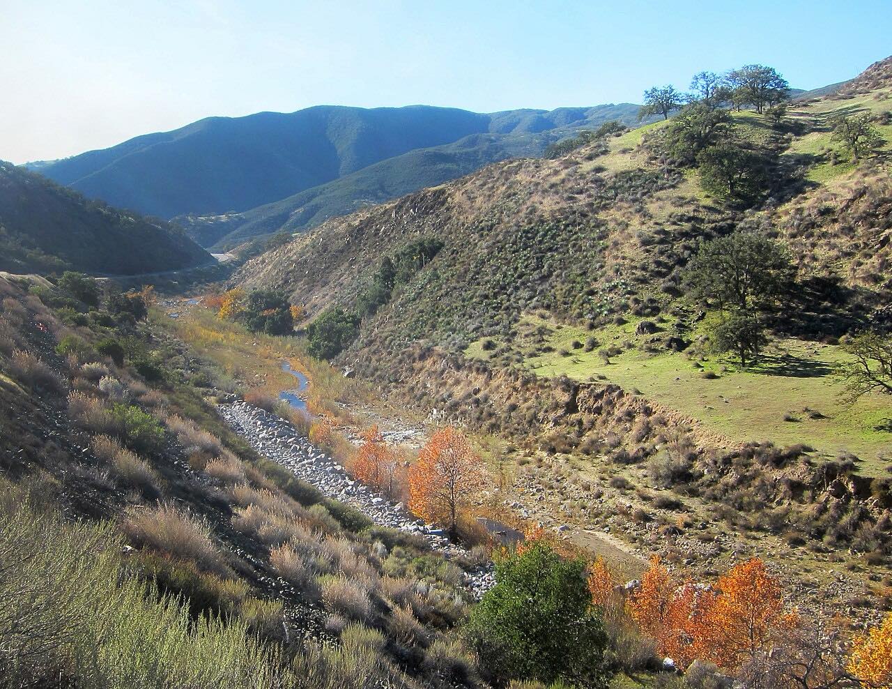
Jalama Road leaves Highway 1 south of Lompoc and runs about 14 miles west to the coast, ending at Jalama Beach County Park. It is a two-lane road of bends and hill climbs through ranch country, with downhill S-curves and a wooded middle stretch where cattle graze among oaks. The hills turn green in spring and tan in fall, when the oaks stand out.
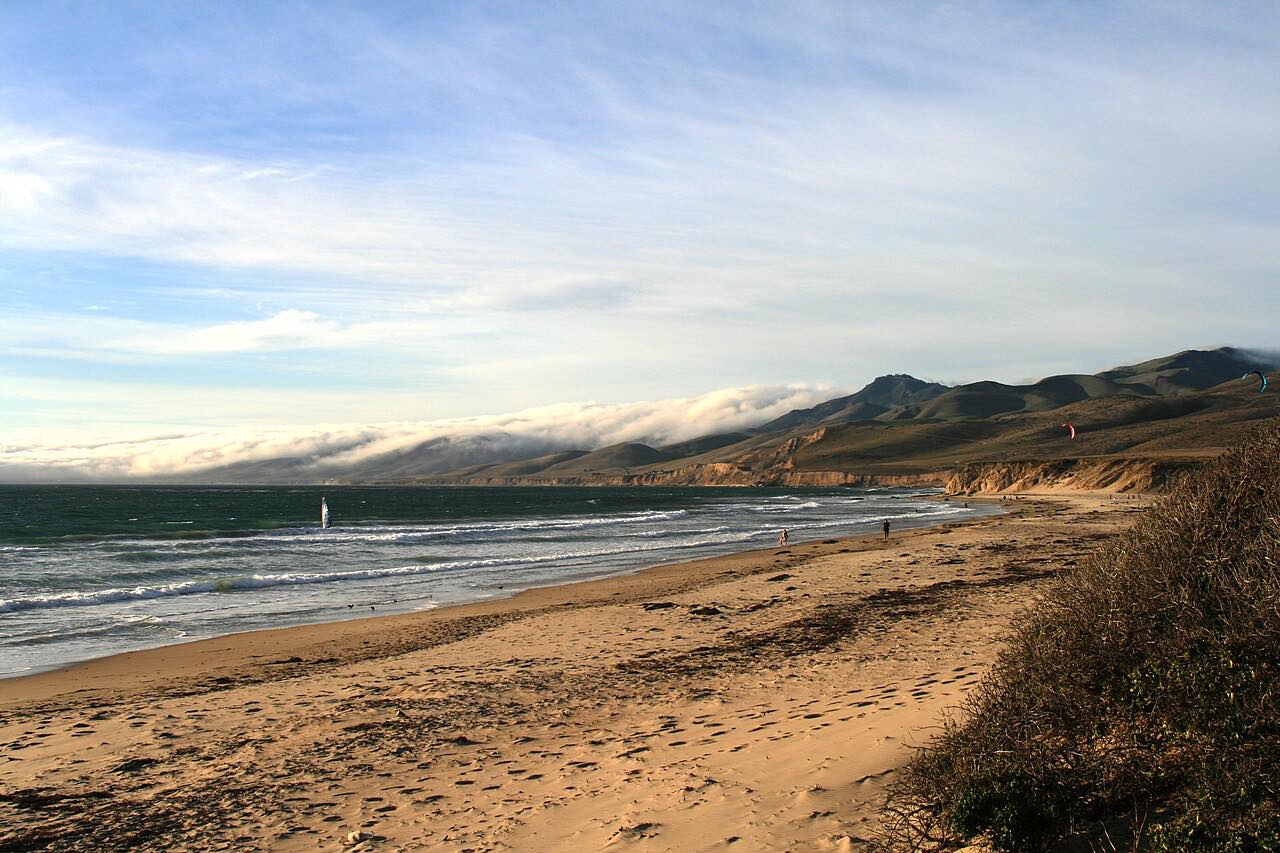
The last hill and a long bend open the first view of the surf. At the end is a county beach park that draws surfers, anglers, campers and day visitors, and the Jalama Beach Store grill, known for its Jalama burger. The county charges a day-use fee for the park, and this drive stops before the gate.
Along the way
- Highway 1 (San Julian Road)
- Jalama Beach (before the park gate)
Good to know
- Plan on at least 25 minutes, and more if you end up behind a motorhome; there is little room to pass.
- Cattle graze near the road in the wooded middle section.
- Large motorhomes and long trailers should take the grades and sharp bends slowly.
- There is no fuel on the road; the nearest gas station is in Lompoc, so fill up before you turn off Highway 1.
- The grill at the end stops taking orders late in the day, so arrive in the afternoon if you want a meal.
Open all year, weather permitting. Roads close for snow, fire, storms and repairs: before you set off, check Santa Barbara County Parks: Jalama Beach.
Questions about this drive
How long does Jalama Road take to drive?
Jalama Road from Highway 1 to Jalama Beach is 13.8 miles and takes about 30 minutes. Allow longer on weekends if you get stuck behind an RV.
How twisty is Jalama Road?
Jalama Road is rated Twisty: mostly moderate bends with three tighter stretches, plus hill climbs and downhill S-curves. It is a narrow two-lane road, so it rewards a relaxed pace.
Is there gas on Jalama Road?
No. The nearest gas station to Jalama Road is in Lompoc, so fill up before you drive out to the beach.
Is there a fee at Jalama Beach?
Yes, Santa Barbara County charges a day-use fee at Jalama Beach County Park. The road itself is free, and this drive ends before the park gate.
Can RVs drive Jalama Road?
A rental listing for the park advises large motorhomes and long trailers to take Jalama Road slowly because of the steep grades, sharp bends and limited passing room.
What you get in the app
Free on iPhone and Android. CarPlay and Android Auto come with Apex.
More drives near here




Distance, time, elevation, curves and intensity are from Carve's route. Checked 2026-10-28.