

The drive
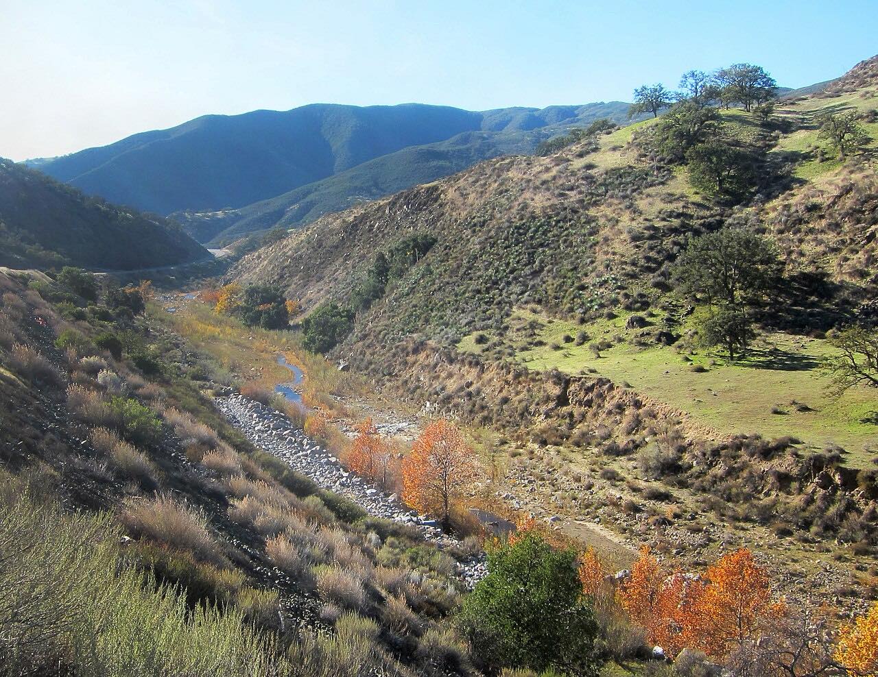
Foxen Canyon Road is the back road through Santa Barbara wine country. It leaves Highway 154 at Los Olivos and runs north through oak-studded hills, vineyards and cattle ranches, past a string of wineries including Zaca Mesa and Foxen on gentle curves.
The road is named for William Benjamin Foxen, an English sailor who settled here on Rancho Tinaquaic in the 1840s; his ranch later served as a stagecoach station, and his descendants still own land and a winery along the road. Near the end you pass the Chapel of San Ramon, built by the Foxen family in his memory, the first historic landmark Santa Barbara County listed. The drive ends at Sisquoc, a tiny town whose name comes from the Chumash word for quail, before the road flattens out into the farmland toward Santa Maria.
It's driven north from Los Olivos, the end most people reach from Solvang and Santa Barbara.
Along the way
- Los Olivos (Highway 154)
- Sisquoc
Good to know
- There's almost no shoulder, and the road is popular with cyclists.
- Watch for cars turning in and out of winery driveways along the way.
Open all year, weather permitting. Roads close for snow, fire, storms and repairs: before you set off, check Santa Barbara County Public Works: road closures.
Questions about this drive
How long does Foxen Canyon Road take?
Foxen Canyon Road from Highway 154 at Los Olivos to Sisquoc is 20.6 miles and takes about 40 minutes without stops.
What wineries are on Foxen Canyon Road?
Foxen Canyon Road passes several wineries between Los Olivos and Sisquoc, among them Zaca Mesa, Foxen and Rancho Sisquoc.
Is Foxen Canyon Road twisty?
Not very. Foxen Canyon Road is mostly gentle curves through the hills, an easy, scenic drive rather than a technical one.
Who was Foxen Canyon named for?
Foxen Canyon Road is named for William Benjamin Foxen, an English-born rancher who held Rancho Tinaquaic in the 1840s; the Chapel of San Ramon near Sisquoc was built in his memory.
What you get in the app
Free on iPhone and Android. CarPlay and Android Auto come with Apex.
More drives near here



Distance, time, elevation, curves and intensity are from Carve's route. Checked 2026-10-28.