Drives Connecticut Boston, Cape Cod, Rhode Island and Connecticut
Route 7: Kent to Canaan
US 7, Kent Cornwall Road, Cornwall Bridge Road · Kent → Canaan

The drive
US 7 follows the Housatonic River valley north from Kent to Canaan. Kent Falls State Park, a cascade that plunges about 70 feet in its big fall, is in Kent. Farther north, US 7 and Route 4 cross the Housatonic at Cornwall Bridge on a concrete arch built in 1930.
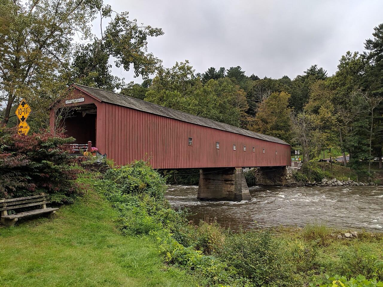
Housatonic Meadows State Park lies along the road in Sharon. A two-mile stretch of the river there is fly-fishing only, catch-and-release. At the junction with Route 128, the West Cornwall Covered Bridge is a short turn off the highway: it is 172 feet long, about 15 feet wide, and was listed on the National Register of Historic Places in 1975.
The drive continues north past Falls Village to Canaan.
Along the way
- Kent
- Kent Falls
- Cornwall Bridge
- Canaan
Good to know
- Kent Falls State Park charges out-of-state vehicles a fee on weekends and holidays, and a lower one on weekdays.
- The West Cornwall Covered Bridge is about 15 feet wide.
Open all year, weather permitting. Roads close for snow, fire, storms and repairs: before you set off, check CTroads.
Questions about this drive
How long does the Route 7 drive from Kent to Canaan take?
Kent to Canaan on US 7 is 25.5 miles and takes about 40 min without stops.
Where is the West Cornwall Covered Bridge?
It crosses the Housatonic River where Route 128 meets Route 7, in Cornwall. It is about 172 feet long.
Is there a fee at Kent Falls State Park?
Connecticut-registered vehicles enter free. Out-of-state vehicles pay $10 on weekdays and $15 on weekends and holidays.
What you get in the app
Free on iPhone and Android. CarPlay and Android Auto come with Apex.
More drives near here



Distance, time, elevation, curves and intensity are from Carve's route. Checked 2026-10-28.