Drives New York The Hudson Valley and the Catskills
Highway 301: Cold Spring to Carmel
NY 301, Cold Spring Turnpike, Carmel-Kent Cliffs Road · Cold Spring → Carmel

The drive
Highway 301 starts at the Highway 9D junction in Cold Spring and climbs through Nelsonville as Cold Spring Turnpike. It crosses US 9 at Mekeel Corners and enters Clarence Fahnestock State Park.
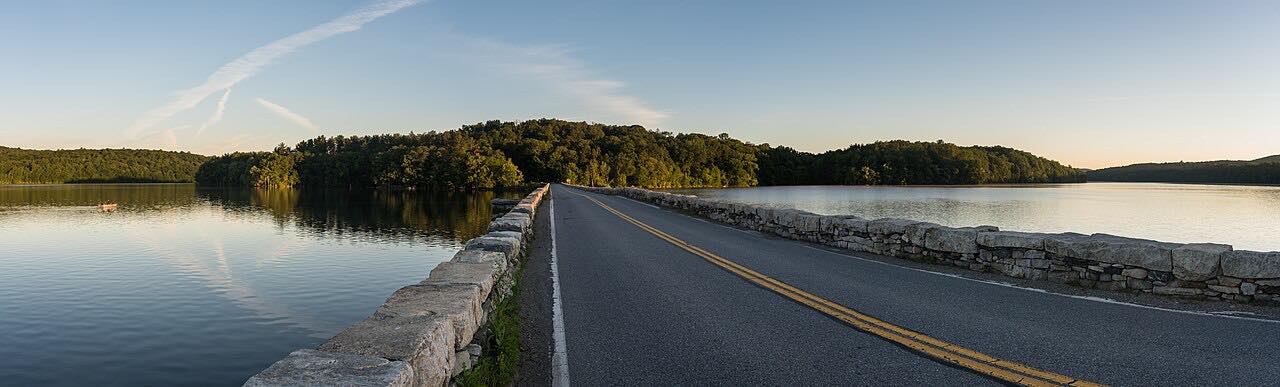
In the park the road crosses Clove Creek several times and runs along the south bank of Canopus Lake. Beyond the Taconic State Parkway it turns southeast and passes Boyds Corner Reservoir and the West Branch Reservoir, which it crosses on a causeway. Both reservoirs belong to New York City's Croton system. The drive ends just before Highway 52 in Carmel.
The road is wooded and winding, with one twistier stretch near the end.
Along the way
- Cold Spring
- Canopus Lake
- Carmel
Good to know
- Fahnestock State Park draws hikers and paddlers on weekends, so expect parked cars.
- Cold Spring is a village with local traffic.
Open all year, weather permitting. Roads close for snow, fire, storms and repairs: before you set off, check 511NY traffic and travel information.
Questions about this drive
How long is Highway 301 from Cold Spring to Carmel?
Highway 301 from Cold Spring to Carmel is 18.6 miles and takes about 30 minutes.
Does Highway 301 go through Fahnestock State Park?
Yes. It crosses Clarence Fahnestock State Park and runs along Canopus Lake.
What does Highway 301 cross near Carmel?
It crosses the West Branch Reservoir on a causeway before reaching Carmel.
What you get in the app
Free on iPhone and Android. CarPlay and Android Auto come with Apex.
More drives near here


Distance, time, elevation, curves and intensity are from Carve's route. Checked 2026-10-28.