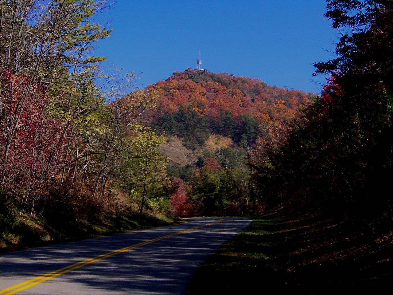

The drive
The Foothills Parkway runs along the Tennessee side of the Great Smoky Mountains National Park. This drive goes west from Wears Valley at US 321 to Chilhowee Lake at US 129, 31.3 miles in all, passing Walland and Look Rock.
Congress authorized the parkway in 1944 as a scenic route for viewing the Smokies. The stretch between Walland and Wears Valley includes the 1.65-mile "missing link", built on a series of bridges and opened in 2018. The older section from Chilhowee to Walland has been open since 1968. The route is Twisty, with three tight stretches and about 5,200 feet of climb.
Along the way
- Wears Valley (US 321)
- Walland
- Look Rock
- Chilhowee Lake (US 129)
Good to know
- Check the park's closures page for Foothills Parkway road closures before you go.
- The park lists Foothills Parkway East and West on the Tennessee side, with the Sugarlands Visitor Center between them.
Open all year, weather permitting. Roads close for snow, fire, storms and repairs: before you set off, check Great Smoky Mountains National Park: closures.
Questions about this drive
How long does the Foothills Parkway take to drive?
The Foothills Parkway from Wears Valley to Chilhowee Lake is 31.3 miles and takes about 50 minutes.
What is the Foothills Parkway missing link?
It is a 1.65-mile section of the parkway between Walland and Wears Valley, built on bridges and opened in 2018.
What you get in the app
Free on iPhone and Android. CarPlay and Android Auto come with Apex.
More drives near here




Distance, time, elevation, curves and intensity are from Carve's route. Checked 2026-10-28.