

The drive
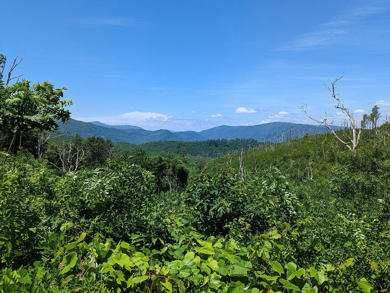
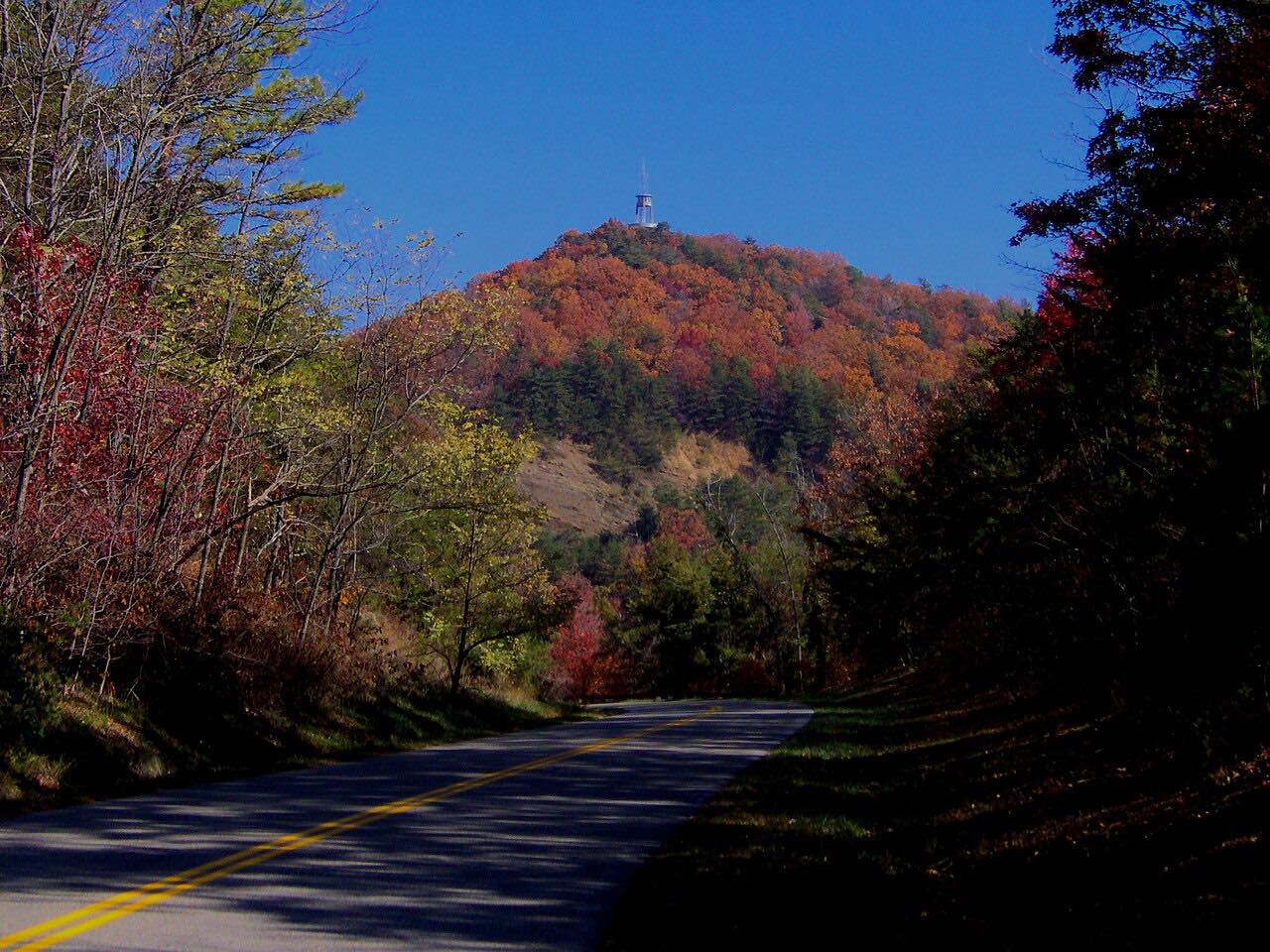
Newfound Gap Road is US 441 over the Great Smoky Mountains. This drive starts at Sugarlands, just past the Little River Road junction near Gatlinburg, and climbs south to 5,046-foot Newfound Gap before descending to the Oconaluftee Visitor Center near Cherokee, North Carolina.
It is 28.6 miles and climbs about 4,200 feet, with long climbs and sweeping bends through hardwood and spruce forest. The route is Twisty, with three tight stretches.
Along the way
- Sugarlands (Little River Road)
- Newfound Gap
- Oconaluftee Visitor Center
Good to know
- Newfound Gap Road is open year-round, weather permitting.
- Parking longer than 15 minutes needs a parking tag, $5 per day. It is not an entrance fee.
Open all year, weather permitting. Roads close for snow, fire, storms and repairs: before you set off, check Great Smoky Mountains National Park: closures.
Questions about this drive
How long does Newfound Gap Road take to drive?
Newfound Gap Road from Sugarlands to the Oconaluftee Visitor Center is 28.6 miles and takes about 50 minutes.
Is Newfound Gap Road open in winter?
The park lists Newfound Gap Road (US 441) as open year-round, weather permitting.
Is there a fee to drive Newfound Gap Road?
There is no entrance fee, but parking longer than 15 minutes needs a parking tag, $5 per day.
What you get in the app
Free on iPhone and Android. CarPlay and Android Auto come with Apex.
More drives near here



Distance, time, elevation, curves and intensity are from Carve's route. Checked 2026-10-28.