
Drives Michigan Michigan's Upper Peninsula
M-26: Eagle River to Copper Harbor
M 26 · Phoenix → Copper Harbor

The drive
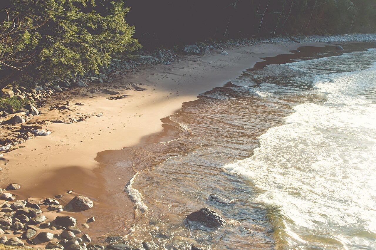
M-26 leaves US 41 at Phoenix and runs along the Keweenaw Peninsula's Lake Superior shore to Copper Harbor. The northern stretch closely follows the shoreline, and the stretch is described as highly scenic. It is also part of the Lake Superior Circle Tour.
The highway passes through Eagle River, the Keweenaw County seat, where it crosses the river on the Eagle River Timber Bridge, a wood-and-steel span. Farther on it reaches Eagle Harbor, where the Eagle Harbor Light, first built in 1851, stands, and where the highway meets Brockway Mountain Drive. M-26 ends at US 41 in the west of Copper Harbor, which is the northernmost permanently populated community in the state. Fort Wilkins Historic State Park, a restored Army post originally built in 1844, is just east of downtown.
The drive is 23.6 miles and takes about 45 minutes.
Along the way
- Phoenix (US-41)
- Eagle River
- Eagle Harbor
- Copper Harbor
Good to know
- Eagle Harbor's lake-effect snow makes winters there long and very snowy.
- Brockway Mountain Drive meets M-26 at Eagle Harbor, but it is a separate road that is closed in winter.
- For current closures, use MiDrive.
Open all year, weather permitting. Roads close for snow, fire, storms and repairs: before you set off, check MDOT MiDrive.
Questions about this drive
How long does M-26 from Phoenix to Copper Harbor take?
M-26 from Phoenix to Copper Harbor is 23.6 miles and takes about 45 minutes.
Where does M-26 end?
M-26 ends at US 41 in Copper Harbor, at the northern tip of the Keweenaw Peninsula.
What towns are on M-26 in the Keweenaw?
The drive passes through Eagle River, the county seat, and Eagle Harbor before reaching Copper Harbor.
What you get in the app
Free on iPhone and Android. CarPlay and Android Auto come with Apex.
More drives near here




Distance, time, elevation, curves and intensity are from Carve's route. Checked 2026-10-28.