
Drives California The Far North
Highway 32: Chico to Deer Creek
CA 32, Deer Creek Highway · Chico → Highway 36

The drive
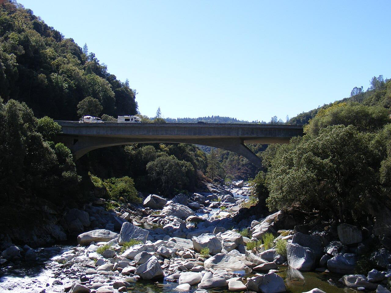
Highway 32, the Deer Creek Highway, is Chico's road up into the mountains. It leaves the east edge of town and climbs northeast through Forest Ranch and West Branch onto the ridge, crosses into Tehama County and enters the Lassen National Forest, then drops to Deer Creek and follows it upstream to Highway 36 near Chester.
The two halves feel different. The climb out of the valley is fast sweepers; the Deer Creek stretch is tighter and shaded under pines and firs, with the creek beside the road and Forest Service campgrounds such as Potato Patch and Elam along it. The Forest Service calls the trout fishing along Deer Creek excellent; the creek is stocked in summer and has special fishing regulations.
The Park Fire burned along Highway 32 between the Butte and Tehama county line and Deer Creek, and Caltrans rebuilt the damaged stretches afterward.
Along the way
- Chico
- Forest Ranch
- Deer Creek (Potato Patch)
- Highway 36 (near Chester)
Good to know
- Wildfire repairs have brought closures and one-way traffic to this road before, so check Caltrans before you go.
- The Deer Creek campgrounds are seasonal, and some have closed for hazard trees; Potato Patch is generally open mid-April to October.
- Deer Creek has special fishing regulations; check California Fish and Wildlife before you fish.
Open all year, weather permitting. Roads close for snow, fire, storms and repairs: before you set off, check Caltrans: Highway 32 conditions.
Questions about this drive
How long does Highway 32 from Chico to Highway 36 take?
Highway 32 from Chico to Highway 36 near Chester is about 50 miles and takes about an hour without stops, climbing 7,200 feet along the way.
Is Highway 32 open after the Park Fire?
It can be. Caltrans has closed parts of Highway 32 for wildfire repairs before; check Caltrans road conditions for current work.
What is the Deer Creek Highway?
Deer Creek Highway is another name for Highway 32 between Chico and Highway 36; in its upper miles the road follows Deer Creek through the Lassen National Forest.
Are there campgrounds on Highway 32?
Yes. The Lassen National Forest runs campgrounds along Deer Creek beside Highway 32, including Potato Patch, which is generally open from mid-April to October, and Elam.
What you get in the app
Free on iPhone and Android. CarPlay and Android Auto come with Apex.
More drives near here




Distance, time, elevation, curves and intensity are from Carve's route. Checked 2026-10-28.