Drives California Gold Country and Tahoe
Highway 49: Nevada City to Sierra City
CA 49 · Nevada City → Sierra City

The drive
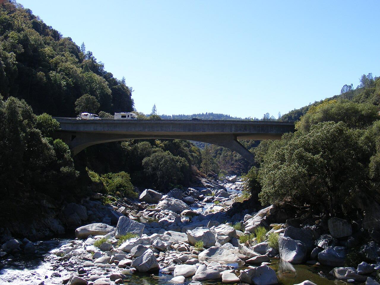
Highway 49 leaves Nevada City and heads north through Yuba River country. It crosses the South Yuba River near Malakoff Diggins State Historic Park, then runs through North San Juan and Camptonville, with tight curves most of the way. The route enters Tahoe National Forest after Camptonville.
Past Camptonville the highway meets the North Yuba and follows the canyon up to Downieville, a Sierra County town, with blind bends beside the river. The last stretch to Sierra City is the twistiest, with a long run of tight curves from about mile 39 to the end, and the Sierra Buttes rising above town. The northern part is the Yuba-Donner Scenic Byway, and the whole highway is known as the Golden Chain Highway.
Along the way
- Nevada City
- South Yuba River crossing
- Downieville
- Sierra City
Good to know
- Many curves are blind, especially beside the North Yuba River, so keep to your side of the line.
- Fill the tank before you go; the road is long and the grades are steady.
Open all year, weather permitting. Roads close for snow, fire, storms and repairs: before you set off, check Caltrans: Highway 49 conditions.
Questions about this drive
How long does Highway 49 from Nevada City to Sierra City take?
Highway 49 from Nevada City to Sierra City is 54.5 miles and takes about 1 hr 25 min.
How twisty is Highway 49 along the Yuba River?
It is the twisty end of the Gold Country: tight curves most of the way, with three especially twisty stretches, the longest over the last 15 miles toward Sierra City.
Where does Highway 49 go through Downieville?
Highway 49 passes through Downieville in Sierra County between Camptonville and Sierra City, following the North Yuba River.
What is the Golden Chain Highway?
The Golden Chain Highway is the name for Highway 49 along its whole length, which links the Gold Rush towns of the Sierra foothills.
What you get in the app
Free on iPhone and Android. CarPlay and Android Auto come with Apex.
More drives near here



Distance, time, elevation, curves and intensity are from Carve's route. Checked 2026-10-28.