
Drives Alberta Banff, Jasper and the Canadian Rockies
Bow Valley Parkway
1A, Bow Valley Parkway · Banff → Lake Louise


The drive
The Bow Valley Parkway is a 48-km paved, winding route between Banff and Lake Louise. Parks Canada calls it a quieter alternative to the Trans-Canada Highway, with roadside pull-offs, picnic areas and viewpoints. This drive runs west from the Trans-Canada near Banff, 30.5 miles in about 1 hour 5 minutes, leisurely with mostly gentle curves and one twisty stretch, passing Johnston Canyon and Morant's Curve.
The eastern 17 km, from Fireside Day-use Area to Johnston Canyon, runs through montane habitat that is important wildlife country. Bears, wolves, cougars and elk use the area and are most sensitive to people between dusk and dawn.
Along the way
- Banff (Trans-Canada Highway)
- Johnston Canyon
- Morant's Curve
- Lake Louise
Good to know
- The eastern 17 km is part of a cycling pilot that has restricted it to bikers in spring and fall. The dates change by year, so check Parks Canada.
- From March 1 to June 25, travel on the eastern 17 km is restricted to 8 a.m. to 8 p.m.
- Services are limited, with toilets and day-use areas along the road, and cell coverage has gaps.
The eastern 17 km, Fireside to Johnston Canyon, is closed to cars for cycling from about May 1 to June 25 and September 1 to early October, and closed to all travel 8 pm to 8 am from March 1 to June 25. Roads close for snow, fire, storms and repairs: before you set off, check Parks Canada: Banff bulletins.
Questions about this drive
How long does the Bow Valley Parkway take to drive?
Banff to Lake Louise on the parkway is 30.5 miles and takes about 1 hour 5 minutes.
Is the Bow Valley Parkway closed to cars?
Part of it is at certain times: the eastern 17 km is restricted during the spring and fall cycling pilot, and from March 1 to June 25 it is restricted to 8 a.m. to 8 p.m. for wildlife.
What is the Bow Valley Parkway?
It is a 48-km paved scenic route between Banff and Lake Louise, a quieter alternative to the Trans-Canada Highway.
What you get in the app
Free on iPhone and Android. CarPlay and Android Auto come with Apex.
More drives near here
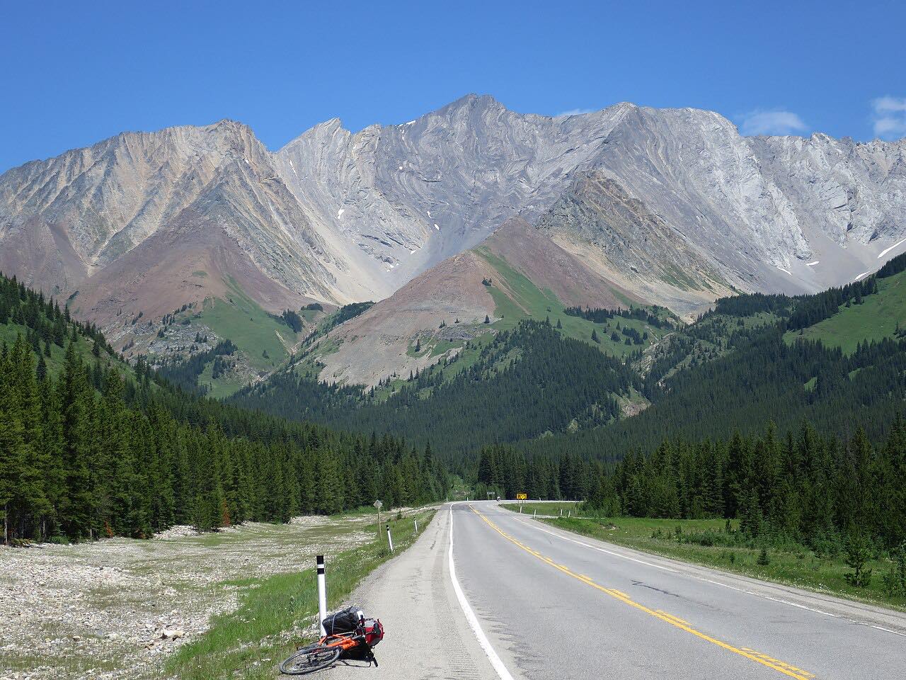 Highwood Pass: Highway 40Leisurely · Kananaskis Trail · 90 mi
 Icefields ParkwayLeisurely · Banff and Jasper, Alberta · 140 mi
 Highway 93: Kootenay National ParkLeisurely · Kootenay National Park, British Columbia and Alberta · 64 mi
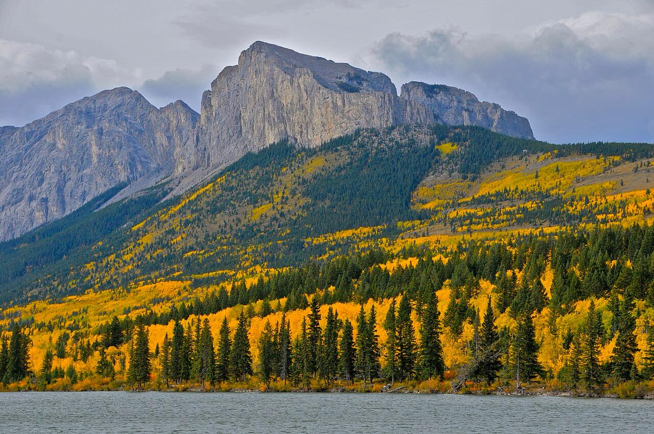 Highway 1A: Cochrane to CanmoreLeisurely · 1A, Bow Valley Trail · 43 mi
Distance, time, elevation, curves and intensity are from Carve's route. Checked 2026-10-28.