Drives New York Central New York, Cooperstown and the Leatherstocking
Highway 30: Schoharie Valley
NY 30 · Middleburgh → Grand Gorge

The drive
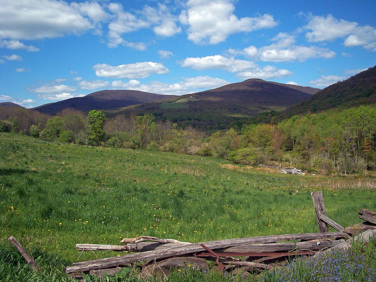
Highway 30 follows Schoharie Creek up its valley through Schoharie County. This drive heads south, upstream, from the village of Middleburgh.
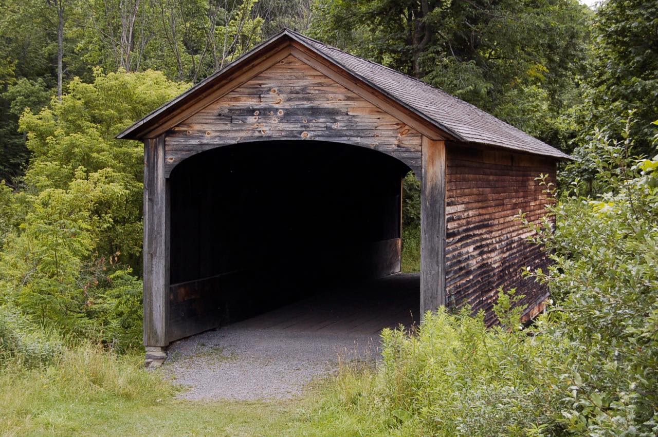
At North Blenheim the road passes the Blenheim Bridge. The original, built in 1855, had one of the longest single spans of any covered bridge until Tropical Storm Irene's flood destroyed it in 2011; a replacement was built in 2017 and 2018, set 15 feet higher. A little farther on, the Blenheim-Gilboa Pumped Storage Power Project sits beside the creek, and Mine Kill State Park has an 80-foot waterfall and overlooks of the project.
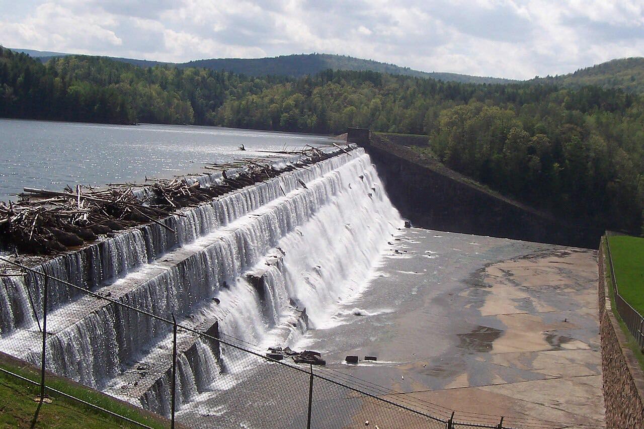
Then comes Gilboa, where the Gilboa Dam holds back the Schoharie Reservoir, part of New York City's water supply; fossil tree stumps found here are evidence of the world's oldest known forest. The road carries on past the reservoir to Grand Gorge, where the drive ends just short of Highway 23.
Along the way
- Middleburgh
- Blenheim Bridge
- Grand Gorge
Good to know
- The Blenheim-Gilboa Visitors Center and historic Lansing Manor on Highway 30 are closed for a multi-year renovation; their events have moved to Mine Kill State Park.
- The Mine Kill Falls overlook has its own parking area on Highway 30, about a quarter mile south of the park's main entrance.
- Deer are most active from October through December and at dawn and dusk, New York's DMV and DEC warn.
Open all year, weather permitting. Roads close for snow, fire, storms and repairs: before you set off, check 511NY.
Questions about this drive
How long is the drive on Highway 30 from Middleburgh to Grand Gorge?
Highway 30 from Middleburgh up the Schoharie Valley to Grand Gorge is 22.2 miles and takes about 30 minutes.
Was the Blenheim covered bridge rebuilt?
Yes. The Blenheim Bridge at North Blenheim, beside Highway 30, was destroyed by Tropical Storm Irene's flooding in August 2011 and rebuilt in 2017 and 2018, 15 feet higher than the original.
Is the Blenheim-Gilboa Visitors Center open?
No. The Blenheim-Gilboa Visitors Center and Lansing Manor on Highway 30 are closed for renovation under a three-year construction contract; events are being held at nearby Mine Kill State Park.
Is Highway 30 through the Schoharie Valley a twisty road?
No. Highway 30 from Middleburgh to Grand Gorge has mostly gentle curves and about 1,700 feet of climbing; it's a valley drive, not a mountain road.
What you get in the app
Free on iPhone and Android. CarPlay and Android Auto come with Apex.
More drives near here



Distance, time, elevation, curves and intensity are from Carve's route. Checked 2026-10-28.